The company is developing a commercial GNSS capability via a LEO satellite constellation and C-band signals.
Locate26 Conference: Detailed program rundown
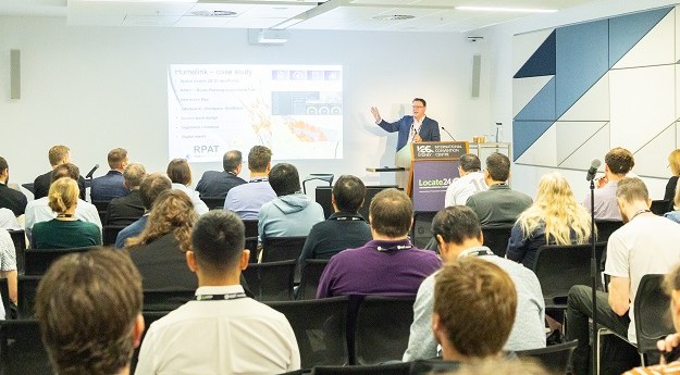
The Locate conference is less than three weeks away, so now’s the time to register and check out the program.
Read moreLatest Geospatial News
View all
ADVERTISEMENT
Machine learning has been used to generate detailed maps of over 100 million individual trees across the US.
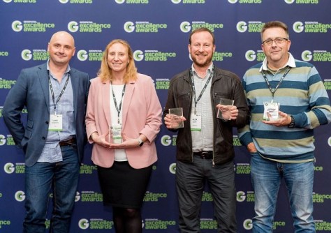
Awards for excellence, professionalism and innovation were presented at a ceremony in Launceston.
Geoscience Australia’s CEO will retire from his role after eight years as head of the Earth sciences organisation.
September 30 is the deadline for geospatial professionals to take part in the Inclusive Employer Index Survey.
The MLX delivers point cloud data captured by a 32-layer LiDAR sensor and 270° and 360° panoramic images.
ADVERTISEMENT
A new report from FrontierSI has highlighted the need for a coordinated calibration and validation network.
Aidedo was founded based on the practical experience of CEO Aiden Tong while studying and working with many Civil Engineering and Land Surveying firms in developed countries.
Queensland’s Department of Resources is seeking commentary on the latest draft Cadastral Survey Requirements.
Events
View All-
Nov 9
2026 Advancing Earth Observation Forum
Hobart, Tasmania -
Nov 10
SouthPAN Industry Day
Online -
Nov 13
South West and Great Southern Surveyors Conference
Mantra Bunbury Lighthouse, Bunbury, WA -
Nov 24
Locate26 Conference / 10th Digital Earth Summit
Melbourne Convention & Exhibition Centre -

Nov 30