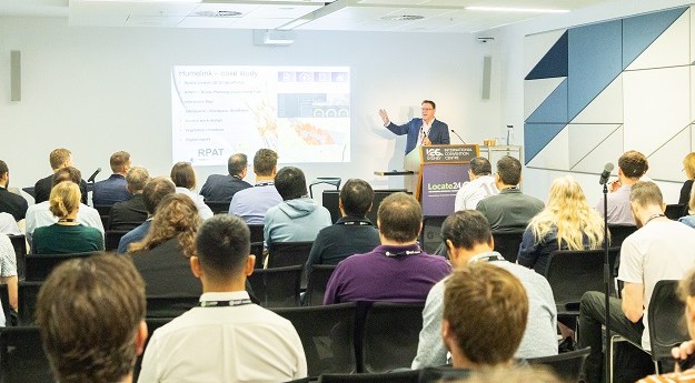
Australian Spatial Analytics will outline its success in training neurodiverse individuals for geospatial roles.
Locate26 Conference: Detailed program rundown
The Locate conference is less than three weeks away, so now’s the time to register and check out the program.
Read moreLatest Geospatial News
View all
ADVERTISEMENT
The National Engineering Surveying Certification v2.0 is designed to better support surveyors and employers.
The US Space Force has chosen Astranis, Axient, L3 Harris and Sierra Space to design alternative GPS satellites.
The capacity building events will have a focus on Least Developed Countries and Small Island Developing States.
We’re getting our first look at the capabilities of Europe’s Sentinel-2C and Planet Labs’ Tanager-1 satellites.
The Australian Geospatial-Intelligence Organisation is inviting applications for its 12-month training course.
ADVERTISEMENT
Geoscience Australia’s new spatial exploration tool has won a Good Design Award for Design Strategy.
Aidedo was founded based on the practical experience of CEO Aiden Tong while studying and working with many Civil Engineering and Land Surveying firms in developed countries.
Drones and street cameras have been used to map Tuvalu’s capital island of Funafuti in just a few weeks.
Events
View All-
Nov 9
2026 Advancing Earth Observation Forum
Hobart, Tasmania -
Nov 10
SouthPAN Industry Day
Online -
Nov 13
South West and Great Southern Surveyors Conference
Mantra Bunbury Lighthouse, Bunbury, WA -
Nov 24
Locate26 Conference / 10th Digital Earth Summit
Melbourne Convention & Exhibition Centre -

Nov 30