Geoscience Australia has licensed river, rainfall and coastal data from the UK-based risk intelligence firm.
Locate26 Conference: Detailed program rundown
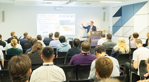
The Locate conference is less than three weeks away, so now’s the time to register and check out the program.
Read moreLatest Geospatial News
View all
ADVERTISEMENT
Worthy individuals and projects were recognised, with Australian Spatial Analytics receiving three awards.
Cesium develops platforms for producing 3D geospatial applications, such as the 3D Tiles open standard.
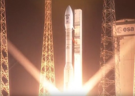
The Earth observation satellite will image the planet in 13 spectral bands with a swath width of 290 kilometres.
Called ‘Leoflect,’ the project has received $100,000 in financing from a South Australian innovation fund.
The new regulations have increased professional indemnity insurance to $2m, plus some other minor changes.
ADVERTISEMENT
The Ordnance Survey and the Digital Task Force for Planning have inked a deal to promote planning change.
Aidedo was founded based on the practical experience of CEO Aiden Tong while studying and working with many Civil Engineering and Land Surveying firms in developed countries.
Looking back on his 30 years of career accomplishments with the Australian Hydrographic Office.
Events
View All-
Nov 9
2026 Advancing Earth Observation Forum
Hobart, Tasmania -
Nov 10
SouthPAN Industry Day
Online -
Nov 13
South West and Great Southern Surveyors Conference
Mantra Bunbury Lighthouse, Bunbury, WA -
Nov 24
Locate26 Conference / 10th Digital Earth Summit
Melbourne Convention & Exhibition Centre -

Nov 30