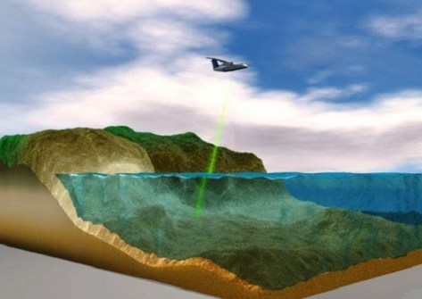
Toitū Te Whenua Land Information New Zealand (LINZ) has put out a request for tenders (RFT) for suppliers who can capture airborne topographic and bathymetric LiDAR data for its 3D Coastal Mapping program.
The 3D Coastal Mapping program is in the process of mapping up to 40% of New Zealand’s coastline in order to create detailed 3D maps of the shore and adjacent seafloor, with the aim of providing data that will help the country prepare for the effects of climate change, such as coastal erosion, as well as for natural hazards such as tsunamis and earthquakes.
LINZ says it intends to engage one or two suppliers over a three-year period to complete the data capture across multiple regions.
The target areas are highly populated parts of the coastline, as well as areas with significant coastal infrastructure and where there is a higher risk of coastal inundation.
Interested parties can obtain more details on the scope of work, requirements, and submission guidelines by viewing the RFT documentation on the New Zealand Government Electronic Tender Service.
The closing date is 8 October 2024.


