

The 12d Tech Forum 2024 offers a fantastic opportunity for engaging in educational sessions, fostering valuable connections, and networking (sometimes over dinner and drinks!) with other members of the 12d community.
3D modelling assists in post-flood rebuild
By jnally on 4 June, 2024J2 Geospatial Intelligence Service is helping a WA wildlife sanctuary recover from cyclone-caused flood damage.
Obliques for Mapping: Are They Really Useful?
By SS Advertiser on 4 June, 2024Until recently, photogrammetric mapping was performed with expensive aerial mapping cameras pointed directly towards the ground in what is known as nadir.
Arlula, Axelspace integrate EO imagery access
By jnally on 3 June, 2024Japanese firm Axelspace’s Earth observation imagery is now integrated and available on Arlula’s platform.
Digital Atlas of Australia moves out of Beta
By jnally on 30 May, 2024The operational version of the Digital Atlas of Australia has been launched following its Beta phase test period.
NavVis announces leadership team expansion
By jnally on 29 May, 2024Matt Delano joins as Global Head of Sales – Laser Scanning and Nora Arendt as Global Head of Customer Experience.
Esri updates map with latest Sentinel-2 data
By jnally on 29 May, 2024Annual 10m high-resolution maps are now available in Esri’s Living Atlas of the World for 2017–23.
Latest Geospatial News
View all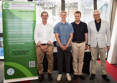
The campaign aims to raise funds for two endowed surveying and spatial university scholarships at UniSQ.
 2024-10-29
ADVERTISEMENT
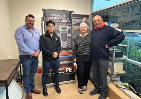
Under the agreement, Aptella becomes the exclusive Australian distributor of C.Scope cable locator tools.
2024-10-28 
The call has gone out for peer-reviewed and regular paper submissions for next year’s Locate25 conference.
2024-10-28 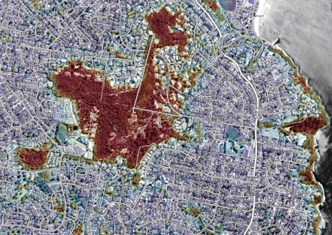
The index maps vegetation to assess the potential exposure of buildings and communities to bushfires.
2024-10-28 
The UniSQ drone mapping and GIS courses aimed to teach new skills and help professionals stay competitive.
2024-10-28 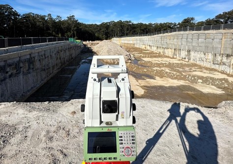
Leica Geosystem’s groundbreaking Multistation combines a robotic total station with 3D laser scanning.
2024-10-25
ADVERTISEMENT

Enjoy our new weekly compilation of spatial news snippets from across Australia and around the world.
2024-10-21 
- Sponsored Content
Aidedo was founded based on the practical experience of CEO Aiden Tong while studying and working with many Civil Engineering and Land Surveying firms in developed countries.
2026-06-02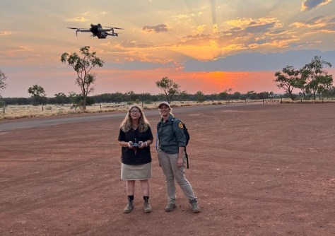
Protecting and preserving Australia’s ancient landscape using cutting-edge drone and mapping technology.
2024-10-21 



Events
View All-
Nov 9
2026 Advancing Earth Observation Forum
 Hobart, Tasmania
-
Nov 10
SouthPAN Industry Day
Online -
Nov 13
South West and Great Southern Surveyors Conference
Mantra Bunbury Lighthouse, Bunbury, WA -
Nov 24
Locate26 Conference / 10th Digital Earth Summit
Melbourne Convention & Exhibition Centre -
Nov 30

