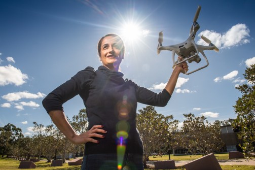
UniSQ drone mapping and GIS courses aimed to teach new skills and help professionals stay competitive.
By Jonathan Nally
In June last year, the federal government announced $18.5 million in funding to support the design and delivery of up to 28 microcredential courses from 18 universities across the country, to help fill the skills gap in crucial industry sectors.
A group of successful courses were selected from more than 90 submitted in the first round of the Microcredentials Pilot in Higher Education program. Unfortunately, there were no geospatial-related courses listed in the second round of the program, announced on 29 August 2024.
Nonetheless, the first round was evidently a success, and, importantly for the geospatial sector — which, like many others, is facing a severe shortfall of skilled professionals — it included three courses of direct relevance:
- Drone Mapping and Navigation Systems — provided by the University of Southern Queensland (UniSQ)
- GIS for Professionals — also provided by UniSQ
- Building Information Modelling (BIM) — provided by the University of Technology Sydney
At the time of the Round 1 announcement, UniSQ Vice-Chancellor, Professor Geraldine Mackenzie, said the courses would be “co-designed and co-developed with industry to meet current and future industry needs,” adding that ““The collaborative approach to development and delivery with industry will fast-track workforce development while improving access to higher education for people in the workforce.”
The two UniSQ microcredential skills courses were offered over two trimesters commencing in January and May this year. To find out how they went, we spoke with Associate Professor Zahra Gharineiat from the School of Surveying and Built Environment, who says that the courses not only taught new skills but also “help professionals stay competitive in rapidly evolving industries driven by technological advancements”.
What was the catalyst for the courses?
The courses were designed to fill a critical skills gap in drone technology and geospatial analysis. The catalyst was the industry’s growing need for professionals with hands-on expertise. The goal is to offer flexible, industry-focused education that professionals can immediately apply in their work.
Who were they aimed at?
These courses targeted professionals in surveying, forestry, agriculture, construction, archaeology and related fields, who want to enhance their skills in drone technology and GIS. The courses are comprehensive, teaching everything from GNSS navigation to drone mapping, with no prior knowledge required.

From what backgrounds did the students come?
Our students came from diverse professional backgrounds, primarily employees from private and government sectors who wanted to upskill in drone technology. We received a solid number of applications and interest, and we hope to increase enrolment in future offerings.
What did they learn?
In the Drone Mapping and Navigation course, students gained hands-on skills in GNSS data collection, drone-based photogrammetry, remote sensing and LiDAR data processing. They learnt to design and execute drone missions, process various types of imagery, and apply these techniques in topographic mapping, engineering, and agriculture. The GIS course allowed students to enhance their geospatial data analysis and management skills through a related microcredential.
What qualification do they take away at the end?
Upon completion, students received a recognised microcredential in drone mapping and GIS. Additionally, each courses offered credit toward two courses in our surveying and GIS undergraduate program, further boosting the students’ academic and professional credentials.
Will the courses continue to run?
Yes, we are considering offering these courses in the coming years, based on demand and the success of the initial offerings.
For more information, go to upskill.usq.edu.au and education.gov.au/microcredentials-pilot-higher-education.


