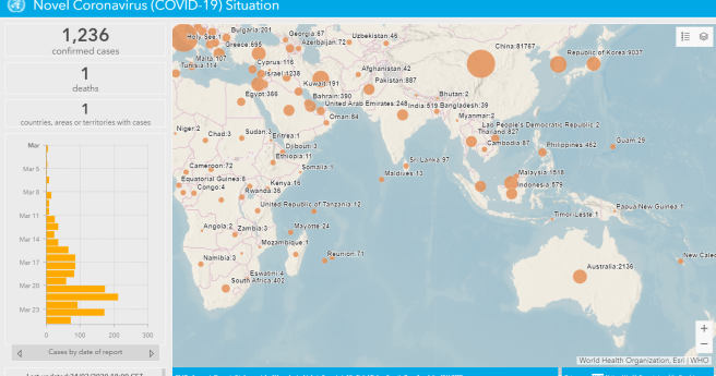
We run down key tools tracking the spread of the novel coronavirus 2019.
GIS
-
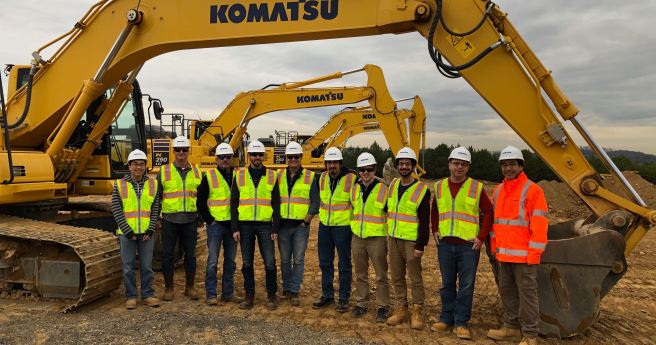
Komatsu announces a suite of digital products for smart construction based around a...
2020-03-18
Locate20’s organisers have issued a statement to potential attendees addressing coronavirus COVID-19.2020-03-10
Travel restrictions and health concerns led to the cancellation of the major GIS...2020-03-09
ADVERTISEMENTBlue Marble has updated and improves its versatile GIS platform and point cloud...2020-03-03
Aerometrex has completed a finely detailed 3D reality mesh of Pau, in southern...2020-03-03
KOREC and NCTech launch their vehicle-borne asset inspection and verification system.2020-03-02
Organisers say 2020 conference to emphasise spatial tech’s role in meeting immediate global...2020-02-26
FrontierSI is calling for project proposals as it seeks to co-invest in digital...2020-02-25
We sit down with managing director Glenn Cockerton to better understand Spatial Vision’s...2019-10-29
The council has uplpaded 4.4 million image to map 2,250km of its road...2019-10-18
Spatial Source’s fortnightly round-up of the best in cartography, spatial analysis and creative...2019-10-18
The October/November issue of Position magazine is now on its way to subscribers.2019-10-15
The world’s first national map of Australian marine habitats is now open to...2019-10-14
Trimble has acquired the creator of utility and infrastructure management suite Cityworks.2019-10-09
Despite the growing dynamism of surveying and geospatial disciplines, economic forecasts warn of...2019-10-02
The chance to take the stage at the agenda-setting Locate20 is now here.2019-10-01
The open source map technologies and volunteer movement playing an essential role in...2019-09-25
PSMA has relaunched as Geoscape, with a new sales access model facilitating direct...2019-09-24
A MangoMaps extension, LiDAR module upgrades and Pro versions of the mobile app...2019-09-18
Newsletter
Sign up now to stay up to date about all the news from Spatial Source. You will get a newsletter every week with the latest news.
Combatting climate change, saving lives and building better ...A new study highlights the accuracy of satellite-derived bat...Two outstanding teachers and a high school student have been...Aptella’s solutions are transforming spatial data and revo...Using 3DGS and SLAM technology, XGRIDS bridges the gap betwe...The move will enable Esri ArcGIS users to take advantage of ...© 2025 Spatial Source. All Rights Reserved.
Powered by WordPress. Designed by


