

The NavVis MLX lightweight, ergonomic instrument is a significant advance in the field of reality data capture.
NZ project leads to rapid predictive flood mapping
By jnally on 6 November, 2024Machine learning is cutting down the time it takes to generate flood maps from 24 hours to just 1 to 2 minutes.
Gilmour given official go-ahead for first launch
By jnally on 5 November, 2024Gilmour Space Technologies has been awarded a launch permit for the first flight of its Eris rocket.
Geospatial to boost economy by $689 billion by 2034
By jnally on 5 November, 2024A new report highlights the vital value of geospatial data and tech to Australia’s economic and social wellbeing.
Can RTK/PPK Really Remove the Need for GCPs?
By SS Advertiser on 1 November, 2024Drones used for mapping require much more than a capable pilot, drone, and photogrammetry software. To create map products, the resulting image data must be tied to the ground. And for this, some form of survey is required. Survey can be in the form of targets surveyed on, or in the air on the drone […]
Plastic rubbish on beaches spotted from space
By jnally on 31 October, 2024RMIT scientists have developed a satellite imagery spectral index for detecting plastics on beaches.
Latest Geospatial News
View all
Lemu will add Wyvern imagery to its platform, while Wyvern will task excess Lemu imaging capacity.
 2025-03-18
ADVERTISEMENT
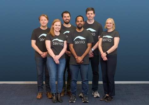
We speak with the firm’s co-founders to find about more about its aim of making digital twins accessible to all.
2025-03-17 
The long-awaited, wide-ranging program for the combined Brisbane conferences in April has been released.
2025-03-13 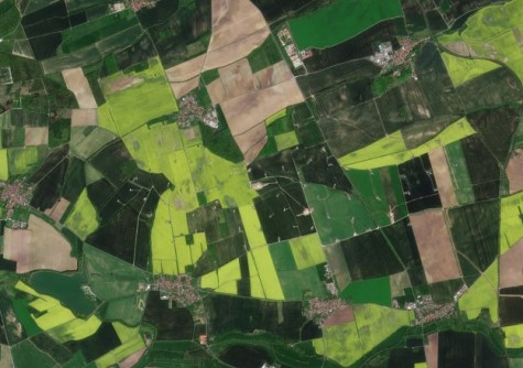
The companies’ new partnership will give farmers across the world access to near-daily satellite imagery.
2025-03-12 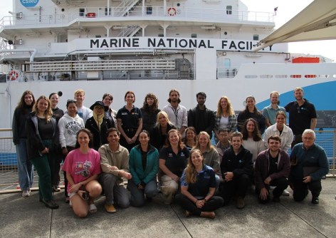
Seafloor mapping and the search for a historic shipwreck are on the agenda for the 10-day training voyage.
2025-03-12 
Esri has announced that Google’s Photorealistic 3D Tiles will be integrated into its ArcGIS suite.
2025-03-12
ADVERTISEMENT

The new QGIS WCPS Plugin enables seamless querying and visualisation of multidimensional datacubes.
2025-03-12 
- Sponsored Content
Aidedo was founded based on the practical experience of CEO Aiden Tong while studying and working with many Civil Engineering and Land Surveying firms in developed countries.
2026-06-02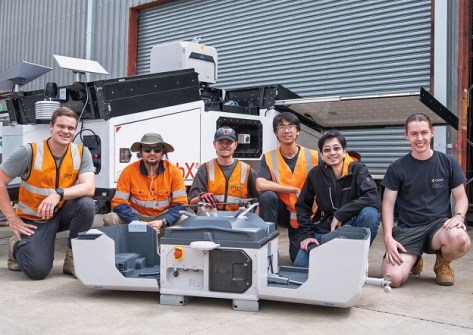
Sphere boosts its local manufacturing capabilities to meet market demand for its HubX solution.
2025-03-12 



Events
View All-
Nov 9
2026 Advancing Earth Observation Forum
 Hobart, Tasmania
-
Nov 10
SouthPAN Industry Day
Online -
Nov 13
South West and Great Southern Surveyors Conference
Mantra Bunbury Lighthouse, Bunbury, WA -
Nov 24
Locate26 Conference / 10th Digital Earth Summit
Melbourne Convention & Exhibition Centre -
Nov 30

