

Trimble’s partnership with TDC will bring precise positioning to Freeance users.
Coloured point clouds for Hovermap scanners
By Spatial Source on 9 June, 2020Emesent has announced new functionality for its Hovermap SLAM LiDAR scanners.
Pix4Dsurvey bridges the gap between photogrammetry and CAD
By Spatial Source on 6 June, 2020Pix4Dsurvey bridges the gap between photogrammetry and CAD, expanding today’s surveying possibilities. Pix4Dsurvey is a new way to work with point cloud data. Designed to meet the needs of professional surveyors, this standalone software will help you transform point clouds into CAD-ready vectors. Pix4Dsurvey allows to extract the most relevant information from photogrammetric or LiDAR […]
Industry pivots to webinars
By Daniel Bishton on 3 June, 2020Our rolling directory of the latest industry webinars, training modules and online events.
SpaceX makes history as first company to launch humans into space
By Spatial Source on 3 June, 2020SpaceX has successfully launched two astronauts into orbit.
Brian Nicholls and Zaffar Mohamed-Ghouse join WGIC board
By Spatial Source on 3 June, 2020Two senior figures of Australia’s geospatial community join the WGIC.
Nearmap launches suite of AI products
By Spatial Source on 2 June, 2020Nearmap launches a suite of AI-driven analytics services alongside its existing imagery services.
World’s largest satellite herd-tracking program to kick off in NT
By Daniel Bishton on 2 June, 2020Over 1,000 water buffalo to be tracked over 22,000 sq km to develop new opportunities for remote communities.
Latest Geospatial News
View all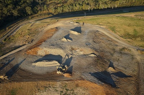
Mackay Regional Council recently used drone technology to conduct environmental testing at landfill sites.
 2021-06-15
ADVERTISEMENT

The two companies have signed a memorandum of agreement on the development of Australian UAS tech.
2021-06-11 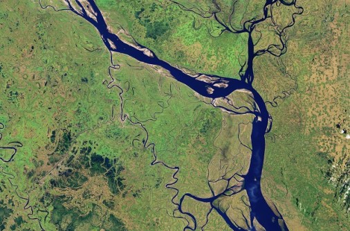
The virtual event June 22–25 will explore new approaches to using EO data, through workshops and coding.
2021-06-11 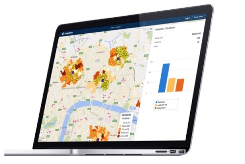
Melbourne-based The Spatial Distillery Company has been appointed A/NZ distributor for the MapIdea platform.
2021-06-10 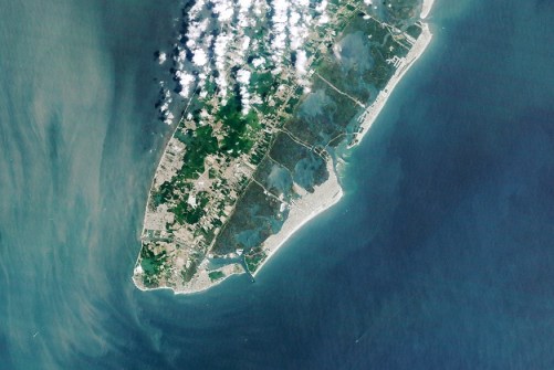
GNSS means tide gauges and prediction tables are no longer needed for finding elevation above a known datum.
2021-06-09 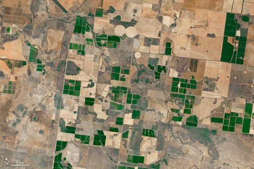
Two new reports outline the factors shaping the future of the Australian satellite Earth observation sector.
2021-06-09
ADVERTISEMENT
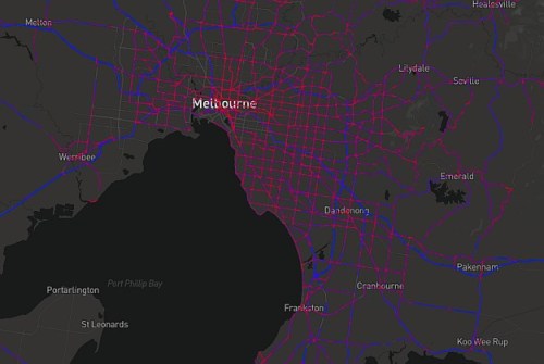
A prototype National Freight Data Hub website uses truck telematics to visualise road congestion and traffic.
2021-06-09 
- Sponsored Content
Aidedo was founded based on the practical experience of CEO Aiden Tong while studying and working with many Civil Engineering and Land Surveying firms in developed countries.
2026-06-02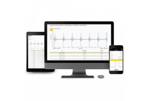
Position Partners has been appointed master distributor for Omnidots’ wireless vibration monitoring platform.
2021-06-08 



Events
View All-
Nov 9
2026 Advancing Earth Observation Forum
 Hobart, Tasmania
-
Nov 10
SouthPAN Industry Day
Online -
Nov 13
South West and Great Southern Surveyors Conference
Mantra Bunbury Lighthouse, Bunbury, WA -
Nov 24
Locate26 Conference / 10th Digital Earth Summit
Melbourne Convention & Exhibition Centre -
Nov 30

