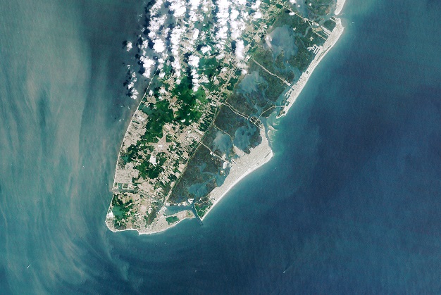
NASA Earth Observatory image by Lauren Dauphin, using Landsat data from the US Geological Survey.
Advances in GNSS systems mean that tide gauges and tide prediction tables are no longer needed for determining height above a known datum.
That’s according to the International Marine Contractors Association’s (IMCA) new publication, Guidelines on the use of GNSS for tide calculations.
The Guidelines give an overview of how GNSS can help in providing more accurate, real-time, direct measurement of tidal changes.
“As with horizontal positioning, vertical positioning is referenced to specified datums. Unlike land surveying, where vertical measurements (elevations) are made to and from a known, fixed position, vertical measurements offshore (depths) are taken against a moving dynamic surface,” said Nick Hough, IMCA’s Technical Adviser – Offshore Survey
“All absolute depths recorded from survey activities need to be adjusted for tide and reduced to a known constant vertical datum such as Mean Sea Level (MSL) or Lowest Astronomical Tide (LAT),” he added.
“The effect of tides will result in depth differences at different times of the day, and at the same times on different days.
“Advances in GNSS technology enable accurate and consistent calculation of height above a known datum, which means reliance on tide gauges or tide prediction tables is no longer necessary,” said Hough.
Stay up to date by getting stories like this delivered to your inbox.
Sign up to receive our free weekly Spatial Source newsletter.


