The work will involve combining GNSS data with satellite interferometric synthetic aperture radar data.
Geoscience Australia to give online update briefing
The Showcase 2026 event will cover the Digital Atlas of Australia, seabed mapping, critical minerals and more.
Read moreLatest Geospatial News
View all
ADVERTISEMENT
Geospatial skills are evolving from a niche skill set to a wider ecosystem of data and digital skills.
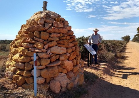
The cairn was first erected over 170 years ago as part of the Victoria-South Australia border survey.
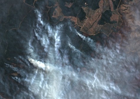
The Digital Earth Australia Hotspots program uses near-real-time satellite imagery to detect and monitor fires.
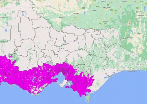
Initial Digital Cadastre Modernisation adjustment has been made to around 50% of Victoria’s land parcels.
Mitsui & Co, through its Australian and Japanese entities, is now the firm’s majority shareholder.
ADVERTISEMENT
A new UK satnav signal is being tested to provide precise, positioning and navigation capabilities.
Aidedo was founded based on the practical experience of CEO Aiden Tong while studying and working with many Civil Engineering and Land Surveying firms in developed countries.
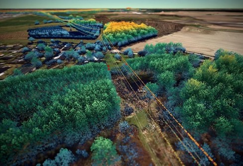
The project will use LiDAR and imagery to scan Denmark’s 3000-line-kilometre electricity network.
Events
View All-
Nov 24
Locate26 Conference / 10th Digital Earth Summit
Melbourne Convention & Exhibition Centre -
Nov 30
-
Feb 5
2026 National EISSI Awards
The Marion, Barrine Drive Regatta Point, Commonwealth Park, Canberra -
Mar 15
Association of Public Authority Surveyors, NSW, 2027 Conference
Crowne Plaza, Terrigal