

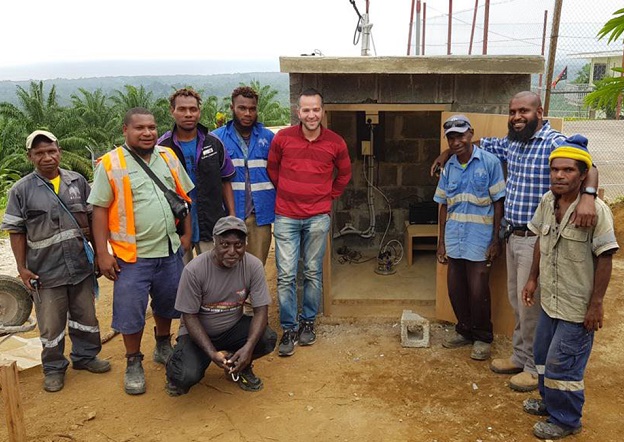
Geoscience Australia Senior Seismologist, Dr Hadi Ghasemi (centre) with Bialla International School staff after installing a seismic sensor in New Britain, Papua New Guinea in 2019. Similar sensors will be installed in Lae as part of the new project.
AGeoscience Australia project aims to help understand the risks posed by earthquakes in northern Papua New Guinea.
The region is home to the Ramu-Markham Fault, the main crustal fault that threatens Lae, PNG’s largest northern urban and commercial centre.
The two-year project will see scientists install seismic stations to monitor earthquake activity, and undertake targeted field surveys.
One of those surveys will involve the collection of GNSS data, which will be combined with satellite interferometric synthetic aperture radar data to measure the earthquake potential.
“A previous national earthquake hazard assessment of Papua New Guinea undertaken by Geoscience Australia identified that earthquake hazard in Lae had been underestimated and led to an interim amendment to the nations’ building code,” said Geoscience Australia Senior Seismologist, Dr Hadi Ghasemi.
“Previous studies have identified very high rates of movement between the blocks along the Ramu-Markham Fault but while there is some evidence of earthquakes found in the oral histories there have been no recorded large earthquakes that have impacted Lae,” added Geoscience Australia Senior Hazard Scientist, Dr Phil Cummins.
“This indicates the presence of very high rates of strain between blocks that, when released, could result in large earthquakes. This combined with factors such as steep slopes and high rainfall, which increases the likelihood of landslides, poses a significant potential risk to the community of Lae.”
Funding for the Lae Earthquake Risk Assessment will come from the Department of Foreign Affairs and Trade Humanitarian Program.
“Geoscience Australia has extensive geohazard capability and expertise that we often share with our colleagues from Pacific Nations. This advice enables our Pacific partners to make evidence-based decisions to prevent and prepare for natural hazards,” said Acting Head of Geoscience Australia’s Community Safety Branch, Dr Anthony Budd said.
A key element of the new project will be upskilling and sharing knowledge with partner organisations in Papua New Guinea.
“It is our goal through this project to share our expertise with our partners in PNG and help build local capability. We’ll be involving PNG government and universities wherever we can to help collect this data,” Dr Budd said.
“We’ll also be holding training workshops in PNG to ensure our in-country partners can get as much value out of this project as possible.”
Stay up to date by getting stories like this delivered to your inbox.
Sign up to receive our free weekly Spatial Source newsletter.


