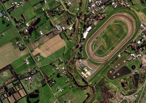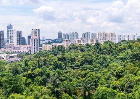
Airborne LiDAR and high-resolution aerial images will boost ground-based forest carbon estimation analyses.
Geoscience Australia to give online update briefing
The Showcase 2026 event will cover the Digital Atlas of Australia, seabed mapping, critical minerals and more.
Read moreLatest Geospatial News
View all
ADVERTISEMENT
Argos-4 takes its place in the system that captures, processes and distributes environmental data.
New Zealand’s Critchlow Geospatial has launched what it says it the country’s first satellite imagery marketplace.
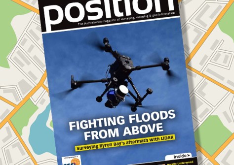
The Oct/Nov 2022 issue of Position magazine is out now, packed full with all the latest geospatial news.
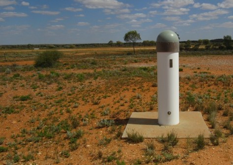
How AUSPOS solutions are being used to help maintain and improve the NSW survey control network.
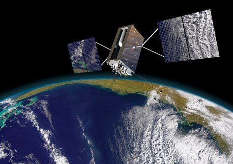
The Australasian GNSS community will come together from 7 to 9 December at the 2022 IGNSS Conference.
ADVERTISEMENT
NavVis’ latest State of Mobile Mapping Report shows 78% believe the tech can provide new client services.
Aidedo was founded based on the practical experience of CEO Aiden Tong while studying and working with many Civil Engineering and Land Surveying firms in developed countries.
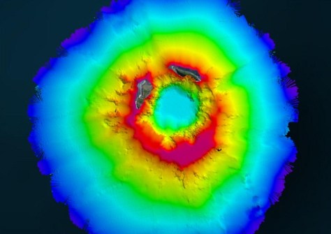
Teledyne CARIS joined with Seabed 2030 to study the submarine impacts of a volcanic eruption in Tonga.
Events
View All-
Nov 24
Locate26 Conference / 10th Digital Earth Summit
Melbourne Convention & Exhibition Centre -
Nov 30
-
Feb 5
2026 National EISSI Awards
The Marion, Barrine Drive Regatta Point, Commonwealth Park, Canberra -
Mar 15
Association of Public Authority Surveyors, NSW, 2027 Conference
Crowne Plaza, Terrigal