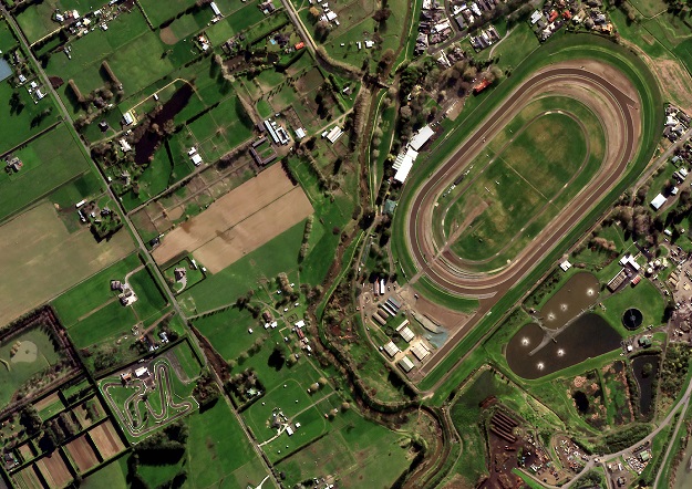
Image courtesy Satellogic
New Zealand’s Critchlow Geospatial has launched what it says it the country’s first satellite imagery marketplace.
The company says the New Zealand Satellite Imagery Marketplace will provide one-stop online resource for businesses and other organisations in the agritech, farming, horticultural, planning, engineering, GIS and emissions-reduction sectors.
“Earth observation via satellite imagery and its derived data is at the forefront of green policy and the shift to low-carbon activity and emissions reduction,” said Critchlow Geospatial Group Managing Director, Steve Critchlow.
“For any organisation that is serious about reducing their carbon footprint, using satellite imagery lessens the reliance on commissioning polluting aircraft for aerial imagery, as well as the requirement for many physical site visits.
“As part of a low carbon strategy, it will help organisations reduce their emissions and enable them to achieve their Net Zero targets much more expediently.”
Critchlow says that, for clients, the Marketplace will take the hard work out of trying to keep up with rapid changes in imagery technologies and the entrance of new providers.
The Marketplace will initially include offerings from Maxar, NTT Data, Pixxel, SI Imaging, Head Aerospace, Capella Space, Satellogic and SpaceWill.
Stay up to date by getting stories like this delivered to your inbox.
Sign up to receive our free weekly Spatial Source newsletter.


