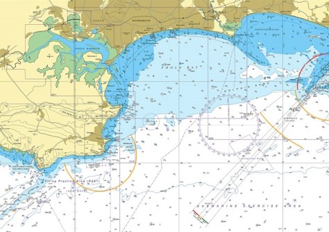
Due to be withdrawn in 2026, UK Standard Nautical Charts and Thematic Charts will now continue until 2030.
Geoscience Australia to give online update briefing
The Showcase 2026 event will cover the Digital Atlas of Australia, seabed mapping, critical minerals and more.
Read moreLatest Geospatial News
View all
ADVERTISEMENT
On behalf of CSIRO, Canberra-based Geospatial Intelligence will present a series of NovaSAR-1 virtual workshops.
The improved accuracy comes courtesy of real-time corrections delivered within the existing Galileo signal.
The Canada Marine Planning Atlas will enable users to view and interact with data relevant to marine spatial planning.
The acquisition aims to give data-centric workers more access to location data without the need for GIS expertise.
More NASA-published Earth science data will be made available via Esri’s ArcGIS Living Atlas of the World.
ADVERTISEMENT
In our annual Leaders Forum, we ask experts to look ahead into 2023. Today we talk scaling up with Zack Wasson.
Aidedo was founded based on the practical experience of CEO Aiden Tong while studying and working with many Civil Engineering and Land Surveying firms in developed countries.
Dr Allan replaces Dr Peter Woodgate, who sadly passed away in December last year.
Events
View All-
Nov 24
Locate26 Conference / 10th Digital Earth Summit
Melbourne Convention & Exhibition Centre -
Nov 30
-
Feb 5
2026 National EISSI Awards
The Marion, Barrine Drive Regatta Point, Commonwealth Park, Canberra -
Mar 15
Association of Public Authority Surveyors, NSW, 2027 Conference
Crowne Plaza, Terrigal