The aim is to see if national bodies’ goals align with Seabed 2030’s on benefits analysis and modelling.
Geoscience Australia to give online update briefing
The Showcase 2026 event will cover the Digital Atlas of Australia, seabed mapping, critical minerals and more.
Read moreLatest Geospatial News
View all
ADVERTISEMENT
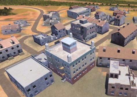
The One World Terrain program will deliver 3D terrain capability to support a virtual model of the Earth.
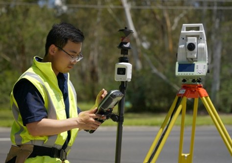
Leica Geosystem’s new AP20 AutoPole with tilt compensation is providing huge productivity improvements.
Land development engineers and engineering surveyors will be the first to be certified under the new system.
The testing included noise, vibration, electromagnetic and radio frequency compatibility checks.
Canberra’s new Low Earth Orbit Satellite Working Group has identified four key areas for attention.
ADVERTISEMENT
They’re aimed at potential surveying and spatial information teachers doing their Cert IV in Training & Assessment.
Aidedo was founded based on the practical experience of CEO Aiden Tong while studying and working with many Civil Engineering and Land Surveying firms in developed countries.
The new receiver accepts multi-frequency signals from GPS and Galileo, and is suitable for reflectometry.
Events
View All-
Nov 24
Locate26 Conference / 10th Digital Earth Summit
Melbourne Convention & Exhibition Centre -
Nov 30
-
Feb 5
2026 National EISSI Awards
The Marion, Barrine Drive Regatta Point, Commonwealth Park, Canberra -
Mar 15
Association of Public Authority Surveyors, NSW, 2027 Conference
Crowne Plaza, Terrigal