Contributions sought for Seabed 2030 online survey

By on 28 February, 2023

Image credit: ©stock.adobe.com/au/Christian Pauschert

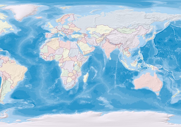
The Seabed 2030 project is seeking feedback from bodies and agencies with national or agency responsibilities for seabed mapping.

The aim is to see whether those bodies’ aims align with or differ from Seabed 2030’s view on benefits analysis and prioritisation of modelling development.

To this end, the project is asking interested parties to take part in an online survey.

The current survey follows on from one conducted in 2021–22, which sought to learn about the status and potential of mapping the ocean floor.

The findings of that first survey have been studied, and needs and priorities have been identified for seabed mapping in those waters that currently remain uncharted.

You may also like to read:


, ,


Newsletter

Sign up now to stay up to date about all the news from Spatial Source. You will get a newsletter every week with the latest news.

City of Sydney: Growing green with GIS
The City of Sydney has set targets to grow a cooler, more di...
Victorian Surveyor-General makes historic apology
The apology acknowledges the role that SGs played in the dis...
One year to go: Countdown to FIG 2025!
Thousands of surveyors from around the world will converge o...
LiDAR shows Pacific cities are older than once thought
LiDAR has helped to show that city structures were being bui...
PlanTech partners aim to transform urban planning
The new effort highlights technology’s role in improving p...
Dual-band GNSS platform
The u-blox F10 GNSS platform combines L1 and L5 to offer enh...