

The survey will shine a light on the standards being used for spatial digital twin products and services.
SSSI to continue merger talks with SIBA|GITA
By jnally on 25 May, 2022SSSI members have given approval for the Institute to continue merger discussions with SIBA|GITA.
Putting emergency location markers on the map
By jnally on 23 May, 2022Remote-area rescues during the pandemic have shown the value of ESTA’s Emergency Markers.
Free drone training for NSW farmers
By jnally on 18 May, 2022More than 580 people have taken up $878,000 worth of free drone training for farmers in NSW.
Latest Geospatial News
View all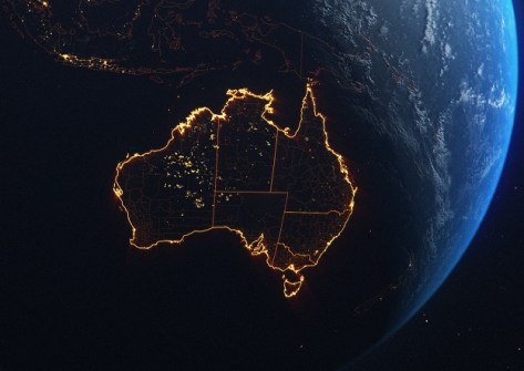
The Space+Spatial Industry Growth Roadmap sets out a vision for a robust future for the two sectors.
 2023-03-14
ADVERTISEMENT

The company will provide flood inundation and analytics data, including evaluation of likely damage.
2023-03-13 
Copernicus satellite data is being used by the Italian road agency to detect and monitor unstable ground.
2023-03-13 
Release of the new plan follows a period of stakeholder engagement and an externally facilitated workshop.
2023-03-08 
On International Women’s Day, we profile four professionals who have forged very different career paths.
2023-03-08 
The newly commissioned Falkor (too) will provide free access to the oceans, including for seabed mapping.
2023-03-08
ADVERTISEMENT

Pearce has parlayed training in space weather and GPS into a career in Australia’s burgeoning space sector.
2023-03-08 
- Sponsored Content
Aidedo was founded based on the practical experience of CEO Aiden Tong while studying and working with many Civil Engineering and Land Surveying firms in developed countries.
2026-06-02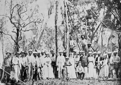
Surveyors played a vital role in setting the route for the telegraph line that connected Australia to the world.
2023-03-07 



Events
View All-
Nov 9
2026 Advancing Earth Observation Forum
 Hobart, Tasmania
-
Nov 10
SouthPAN Industry Day
Online -
Nov 13
South West and Great Southern Surveyors Conference
Mantra Bunbury Lighthouse, Bunbury, WA -
Nov 24
Locate26 Conference / 10th Digital Earth Summit
Melbourne Convention & Exhibition Centre -
Nov 30

