

As of 1 July, some drone operators in certain circumstances will need to seek approval before they can fly.
ELA’s first NASA launch is a success
By jnally on 27 June, 2022The historic launch from the Northern Territory was NASA’s first from a fully commercial spaceport.
Interview: Mahmood Hussein, GDS
By jnally on 20 June, 2022WA-based Global Drone Solutions has grown rapidly to become a leading training organisation.
WMO’s global survey of satellite data use
By jnally on 20 June, 2022The survey aims to find out about user needs and bridge the gaps between data access and utilisation.
Latest Geospatial News
View all
The technology has the potential to revolutionise the building industry and prevent multiple defects.
 2023-04-11
ADVERTISEMENT
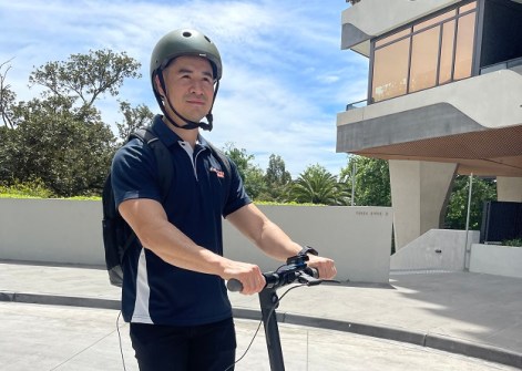
The rollout will facilitate a range of applications, from autonomous shuttles to service robots.
2023-04-11 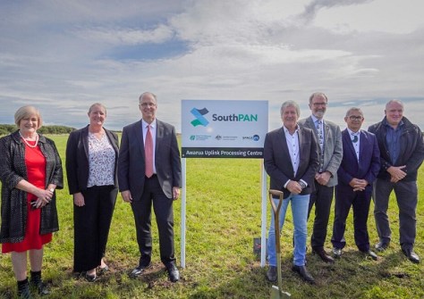
Installation has begun on a SouthPAN uplink site at the SpaceOps NZ Satellite Ground Station near Invercargill.
2023-04-11 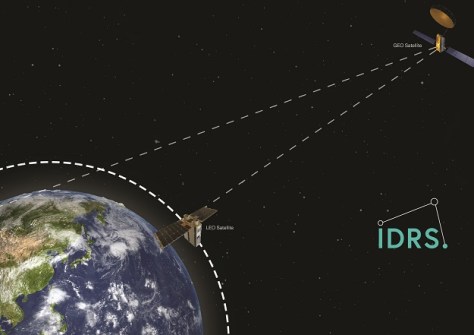
A new LEO satellite antenna system avoids interruption to satellite Earth observation operations.
2023-04-04 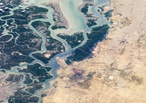
Floodbase will provide a national, near real-time flood intelligence system for FEMA in the USA.
2023-04-03 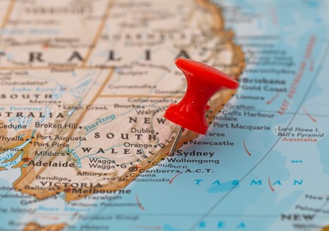
A new methodology will enable NRTK data to be rigorously included in the NSW GDA2020 state adjustment.
2023-04-03
ADVERTISEMENT
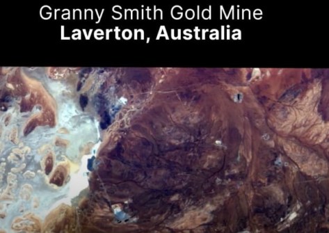
Pixxel has unveiled the first set of hyperspectral images from its satellites as part of its First Light Campaign.
2023-03-31 
- Sponsored Content
Aidedo was founded based on the practical experience of CEO Aiden Tong while studying and working with many Civil Engineering and Land Surveying firms in developed countries.
2026-06-02
The three-year agreement includes Esri software, professional services and technical support.
2023-03-31 



Events
View All-
Nov 9
2026 Advancing Earth Observation Forum
 Hobart, Tasmania
-
Nov 10
SouthPAN Industry Day
Online -
Nov 13
South West and Great Southern Surveyors Conference
Mantra Bunbury Lighthouse, Bunbury, WA -
Nov 24
Locate26 Conference / 10th Digital Earth Summit
Melbourne Convention & Exhibition Centre -
Nov 30

