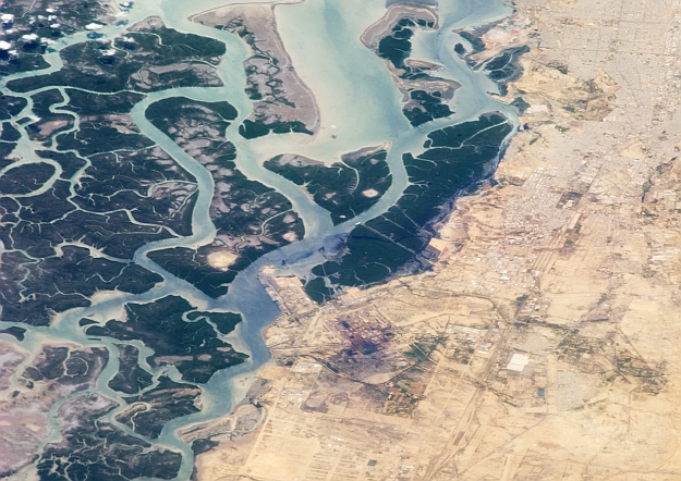
Credit: Floodbase
Floodbase has been awarded a contract to provide a national, near real-time flood intelligence system for the US Federal Emergency Management Agency (FEMA).
The aim is to help FEMA estimate the impacts of flood events more accurately to inform its actions in support of National Flood Insurance Program (NFIP) policyholders.
The contract was awarded through the Department of Homeland Security (DHS) Science and Technology Directorate’s Silicon Valley Innovation Program.
The system will comprise three elements:
- Daily flood monitoring through a combination of multi-satellite imagery composites and deep learning hydrology models.
- Near real-time mapping of ongoing events, with post-event maps delivered within 72 hours of image capture.
- Improved forecasting data with the creation of triggers and thresholds including index-based approaches to improve FEMA’s flood damage estimates and alert FEMA about potential severe impacts to NFIP-insured properties.
“By combining the satellite imagery, hydrology data, and machine learning technology that Floodbase offers, the NFIP will be able to deploy vital resources to those who need it most, faster,” said Bessie Schwarz, CEO of Floodbase.
“Flooding is devastating for households and communities,” added Jeffrey Jackson, FEMA’s Acting Assistant Administrator for Federal Insurance, which oversees the delivery of flood insurance for the NFIP.
“I look forward to exploring with Floodbase how their predictive and post-flood analysis can help us more quickly understand a major flood event so we can make timely decisions to support our policyholders.”