

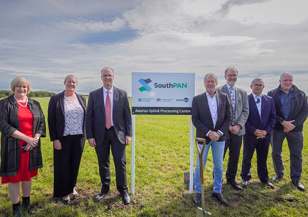
Toitū Te Whenua Land Information NZ Kaihautū, Jan Pierce; Australian Deputy High Commissioner, Amy Guihot; Lockheed Martin Regional Director for Australia and New Zealand, David Ball; NZ Land Information Minister, Damien O’Connor; Space Ops NZ Ltd CEO, Robin McNeill; Te Runaka O Awarua Kaiwhakahaere, Dean Whaanga; and Great South Chair, Ian Collier. Courtesy LINZ.
Installation work has begun on a SouthPAN uplink station at the SpaceOps NZ Satellite Ground Station Awarua, near Invercargill, on New Zealand’s South Island.
SouthPAN (Southern Positioning Augmentation Network) aims to significantly boost the accuracy, reliability and availability of satellite-based positioning services across New Zealand and Australia.
The project is a joint effort between Geoscience Australia and Toitū Te Whenua Land Information NZ (LINZ).
The New Zealand Minister for Land Information, Damien O’Connor, and Australian Deputy High Commissioner, Amy Guihot, came together with project partners at the uplink site to celebrate the milestone.
SouthPAN will improve horizontal positional accuracy from its present metre-scale down to as little as 10 centimetres.
“Benefits will extend from things as simple as your Uber picking you up on the right side of the road, to the greater ability to monitor our protected species across the conservation estate,” Minister O’Connor said.
“With early Open Services now freely available, SouthPAN enables farmers and growers to use invisible fences and drone-based spraying to manage livestock and crops.
“By 2028, it will enable helicopters and planes to fly safely in weather they can’t fly in now minimising disruption due to adverse weather conditions. It also improves safety in industries such as construction by providing virtual barriers that protect people from heavy machinery.”

Space Ops NZ Ltd CEO Robin McNeill introduces Minister O’Connor and attendees at the Awarua Satellite Ground Station installation ceremony. Courtesy LINZ.
Two 11-metre-diameter antennas are being installed at Awarua by project contractor Lockheed Martin Australia. They will link to a control centre in Invercargill, which is monitored by operators 24 hours per day.
The new New Zealand facility will work in tandem with an existing centre in New South Wales, improving redundancy and resilience in the event that one station is affected by a major weather event or fire.
Ultimately, there will be more than 30 reference stations across New Zealand and Australia, and even extending to Antarctica.
It is expected that the SouthPAN will produce an $864 million benefit over 20 years to the New Zealand economy, although that figure is expected to grow as new uses and applications are developed.


