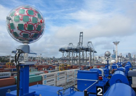
Technologies for providing precise time and position without navigation satellites, have been put to the test.
Geoscience Australia to give online update briefing
The Showcase 2026 event will cover the Digital Atlas of Australia, seabed mapping, critical minerals and more.
Read moreLatest Geospatial News
View all
ADVERTISEMENT
Remote sensing is one of the foci for New Zealand’s new plan to advance its burgeoning space sector.
Positioning and timing systems are high on the federal government’s list of critical national technologies.
The SmartSat-led EO initiative will address the need to reduce risk and boost agricultural productivity.
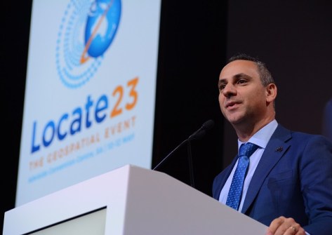
The convergence of the space and spatial sectors was on full display at the Locate conference in Adelaide.
Friday, June 2 is the deadline for the receipt of applications for the Geospatial Council Mentoring Program.
ADVERTISEMENT
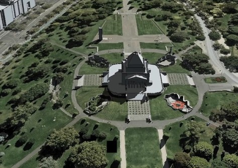
There’s now seamless online access to a 3D representation of Victoria’s 4 million built structures.
Aidedo was founded based on the practical experience of CEO Aiden Tong while studying and working with many Civil Engineering and Land Surveying firms in developed countries.
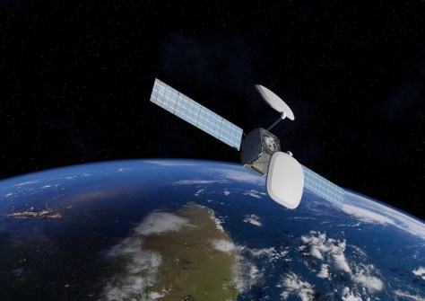
From 2027, Australasia’s SBAS will be boosted by signals from one of Inmarsat’s new I-8 satellites.
Events
View All-
Nov 24
Locate26 Conference / 10th Digital Earth Summit
Melbourne Convention & Exhibition Centre -
Nov 30
-
Feb 5
2026 National EISSI Awards
The Marion, Barrine Drive Regatta Point, Commonwealth Park, Canberra -
Mar 15
Association of Public Authority Surveyors, NSW, 2027 Conference
Crowne Plaza, Terrigal