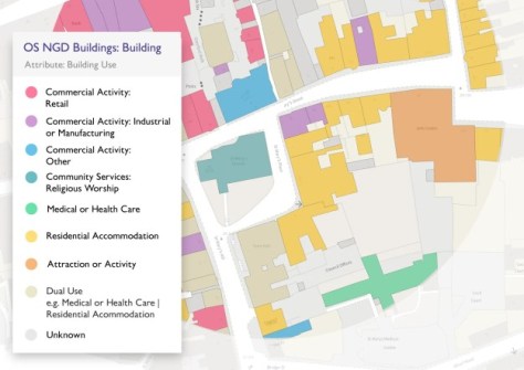
The update includes building data geometry and usage, as well as railway and footpath network data.
Geoscience Australia to give online update briefing
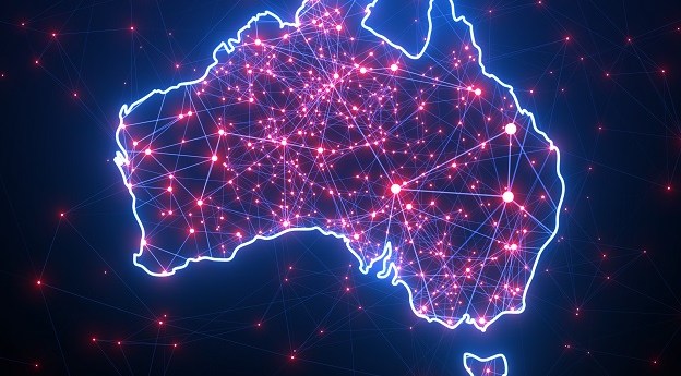
The Showcase 2026 event will cover the Digital Atlas of Australia, seabed mapping, critical minerals and more.
Read moreLatest Geospatial News
View all
ADVERTISEMENT
The scholarships, up to a maximum of NZ$5,000, aim to encourage students to take up geospatial studies.
The Tasmanian Spatial Information Council event will help shape the future of the state’s geospatial sector.
The merger brings together the knowledge and resources of three key surveying companies under one roof.
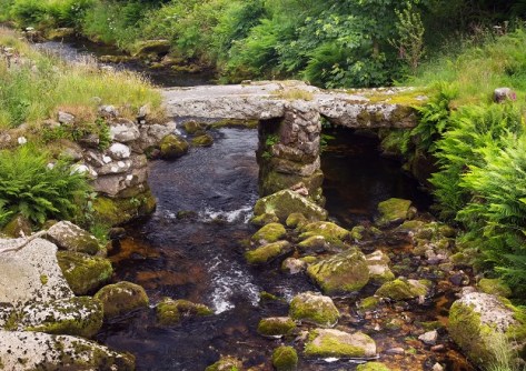
Data from the UK’s National LiDAR Programme has shown that not all Roman roads led to obvious destinations.
Carbonix and Skyports Drone Services will collaborate to boost long-range drone operations across Australia.
ADVERTISEMENT
The company will use the facility to scale up assembly of AI navigation systems for use in GPS-denied settings.
Aidedo was founded based on the practical experience of CEO Aiden Tong while studying and working with many Civil Engineering and Land Surveying firms in developed countries.
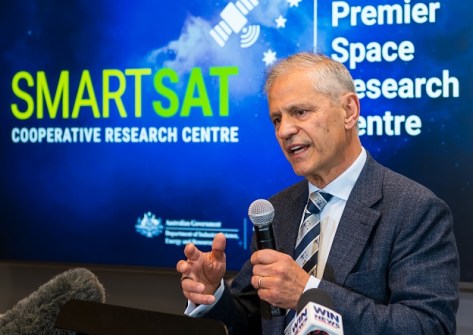
The OzFuel bushfire mitigation satellite instrument is one of the projects to benefit from the new investment.
Events
View All-
Nov 24
Locate26 Conference / 10th Digital Earth Summit
Melbourne Convention & Exhibition Centre -
Nov 30
-
Feb 5
2026 National EISSI Awards
The Marion, Barrine Drive Regatta Point, Commonwealth Park, Canberra -
Mar 15
Association of Public Authority Surveyors, NSW, 2027 Conference
Crowne Plaza, Terrigal