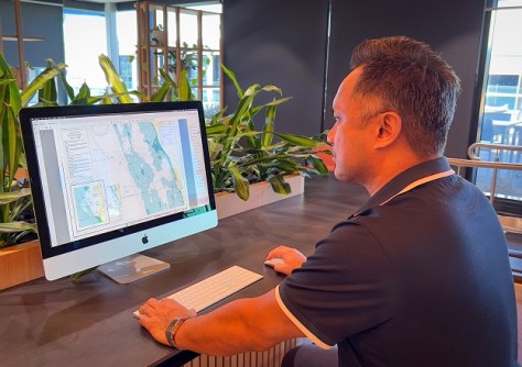
The chart for Quinns Rocks in Perth is the first to be issued under the digital conversion of WA’s nautical charts.
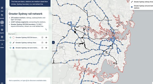
MapAI goes live after years of development
The plain language-driven, AI-powered mapping platform is now available for individual and corporate users.
Read moreLatest Geospatial News
View all
ADVERTISEMENT
The datasets have been released by the UK’s Ordnance Survey as part of the Public Sector Geospatial Agreement.
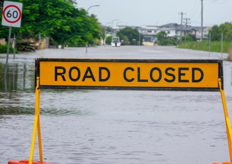
NSW’s SDT will visualise real-time rainfall and flood conditions using data from TPG’s mobile phone network.
Australia will spend more than $200 million to join the Landsat 2030 International Partnerships Initiative.
The City of Sydney has set targets to grow a cooler, more diverse, and resilient city using mapping technology.
The student and teacher finalists have been announced, with the winners to be revealed at the Locate24 conference.
ADVERTISEMENT
Australian-designed displacement monitoring technology enabling new opportunities for surveyors and engineers.
Aidedo was founded based on the practical experience of CEO Aiden Tong while studying and working with many Civil Engineering and Land Surveying firms in developed countries.
Five satellites will be developed and placed into orbit to test new advanced signals in UHF, L, S and C bands.
Events
View All-
Nov 9
2026 Advancing Earth Observation Forum
Hobart, Tasmania -
Nov 13
South West and Great Southern Surveyors Conference
Mantra Bunbury Lighthouse, Bunbury, WA -
Nov 24
Locate26 Conference / 10th Digital Earth Summit
Melbourne Convention & Exhibition Centre -
Nov 30
-
Feb 5
2026 National EISSI Awards
The Marion, Barrine Drive Regatta Point, Commonwealth Park, Canberra