

Lockheed Martin Australia and Av-Comm have completed installation of SouthPAN’s first satellite dish.
Registrations open for Geo Connect Asia 2024
By jnally on 28 November, 2023The event will address key challenges facing the Asian region, from public health to infrastructure and AI.
More speakers announced for IGNSS 2024
By jnally on 28 November, 2023Experts in GNSS, PNT and robotics have been lined up to speak at the conference in Sydney in February.
Flood map project a finalist in resilience awards
By jnally on 24 November, 2023The Tasmanian Strategic Flood Map–Risk Assessment provides a digital twin for strategic flood risk estimation.
QuantX secures $750,000 for quantum-secured PNT R&D
By jnally on 24 November, 2023The project will seek to harness quantum tech to guarantee the authenticity of received PNT data.
OGC invites involvement in climate, disaster pilot
By jnally on 22 November, 2023The aim is to raise understanding and boost collaboration within the disaster and climate communities.
ACT Geospatial Excellence Award recipients
By jnally on 21 November, 2023Highly regarded individuals and teams received their awards at the annual ceremony in Canberra.
Esri, NGS launch updated version of MapMaker
By jnally on 21 November, 2023The interactive online mapping tool lets students and teachers explore the world through geography.
Latest Geospatial News
View all
Quantum-enabled positioning, navigation and timing is one of the fields eligible for federal grant funding.
 2024-06-11
ADVERTISEMENT
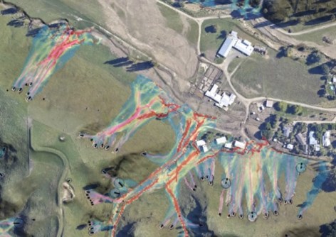
An open-source software tool proved invaluable in estimating risk when Cyclone Gabrielle struck New Zealand.
2024-06-11 
The two major marine initiatives have signed an agreement to work together on ocean research and exploration.
2024-06-11 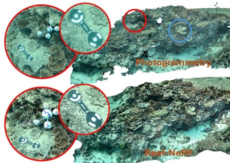
3D AI technology could be set to replace photogrammetry for monitoring the world-famous reef.
2024-06-11 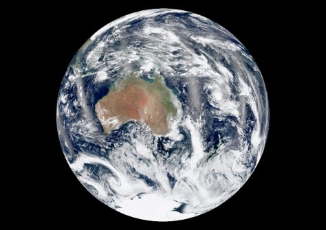
The 2024 Earth Observation Australia Awards will recognise those who are building the Australian EO community.
2024-06-11 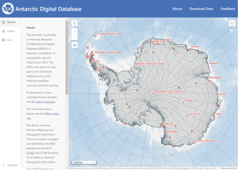
The new viewer displays all Antarctic Digital Database datasets plus other data via an open-access website.
2024-06-05
ADVERTISEMENT
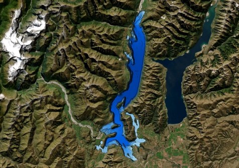
The work was done to better understand the lake’s structure after an active fault was discovered three years ago.
2024-06-05 
- Sponsored Content
Aidedo was founded based on the practical experience of CEO Aiden Tong while studying and working with many Civil Engineering and Land Surveying firms in developed countries.
2026-06-02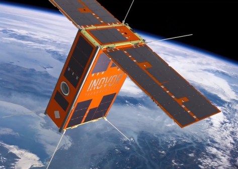
AI image processing aboard South Australia’s upcoming cube sat mission will advance bushfire detection.
2024-06-05 



Events
View All-
Nov 9
2026 Advancing Earth Observation Forum
 Hobart, Tasmania
-
Nov 10
SouthPAN Industry Day
Online -
Nov 13
South West and Great Southern Surveyors Conference
Mantra Bunbury Lighthouse, Bunbury, WA -
Nov 24
Locate26 Conference / 10th Digital Earth Summit
Melbourne Convention & Exhibition Centre -
Nov 30

