

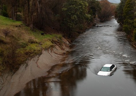
The Tasmania State Emergency Service’s Tasmanian Strategic Flood Map–Risk Assessment (TSFM–RA) project has placed as a finalist in this year’s Resilient Australia National Awards.
The Tasmanian Strategic Flood Map Risk Assessment (TSFM–RA) builds on the Tasmanian Strategic Flood Map (TSFM) digital twin, so that for the first time Tasmania has a digital twin for strategic flood risk assessment.
The TSFM–RA and GIS toolset are changing the way that Tasmania SES assesses flood consequences, and prototypes options for flood policy development, planning and management decisions.
The TSFM–RA integrates TSFM models with land-use and vulnerability data to assess flood risk at a strategic scale. Automated GIS-based processes are used to perform complex multi-scale risk profiling. The final overlay provides an ordinal assessment of risk, which will define areas where flood risk is acceptable, tolerable, and not acceptable.
To complement the spatial products, outputs include a simulated impact assessment and risk summary for each impacted human settlement area across Tasmania.
The TSFM-RA is a beta system, with plans in place to evolve into an established capacity.
The Tasmanian Strategic Flood Mapping Project was initiated following serious floods in 2016, and is a multi-year project jointly funded by the Australian and Tasmanian governments. It aims to:
- ensure that most Tasmanians will have access to a high-resolution digital terrain model through the collection of LiDAR data
- support a flood risk assessment, and the development of land use planning and building controls
- partner with local governments to undertake detailed flood studies and evacuation planning.


