

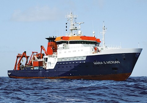
Challenger 150, which coordinates a global effort to map life in the deep-sea, has signed a memorandum of understanding with The Nippon Foundation-GEBCO Seabed 2030 Project, an initiative dedicated to inspiring and coordinating the global effort to map the entire ocean floor by the end of the decade.
A collaborative project between The Nippon Foundation and the General Bathymetric Chart of the Oceans (GEBCO), Seabed 2030 is officially recognised as a flagship programme of the UN Decade of Ocean Science for Sustainable Development (2021-2030), with its mission actively supporting UN Sustainable Development Goal 14: to conserve and sustainably use the ocean, seas and marine resources for sustainable development.
Challenger 150 is a global scientific cooperative under the Deep Ocean Stewardship Initiative (DOSI), developed to respond to the needs of the Ocean Decade, building capacity for global deep-sea research, expanding biological observations and the understanding of deep-sea ecosystems, and supporting their sustainable management.
“From mapping unexplored seamounts in the South Atlantic to venturing under the Arctic ice to study hydrothermal vents, Challenger 150 is rapidly expanding our observational frontiers,” said Professor Kerry Howell, Deep-Sea Ecologist at Plymouth Marine Laboratory (PML) and Co-lead of the Challenger 150 program.
“The increasing use of autonomous and robotic technology in ocean science and exploration is set to rapidly increase both the rate of collection and coverage (temporal and spatial) of observations made in the world’s ocean over the next decade, and will help provide the transformative understanding required to better manage our oceans.”
“By combining the high-resolution bathymetric data compiled by initiatives like Seabed 2030 with our own, we can produce unprecedented ecosystem maps and predictive habitat models,” said Dr Ana Hilario, Deep-Sea Ecologist at University of Aveiro and fellow Co-lead of the Challenger 150 program.
“This is incredibly exciting as it means we can fill the big holes in our knowledge of the deep sea and help us better target where to look for key ecosystems. The collaboration will also help us produce a ‘digital twin’ of the ocean so we can better understand the impacts of climate change and human use.”
The pairing of the two initiatives evokes the spirit of the historic HMS Challenger mission which undertook a groundbreaking research voyage between 1872 and 1876 in an attempt to map the ocean floor, and the life inhabiting it.
The pioneering expedition (after which the space shuttle Challenger and Challenger 150 were both named) mapped the shape of the ocean floor using a lead line lowered from the vessel to the seabed.


