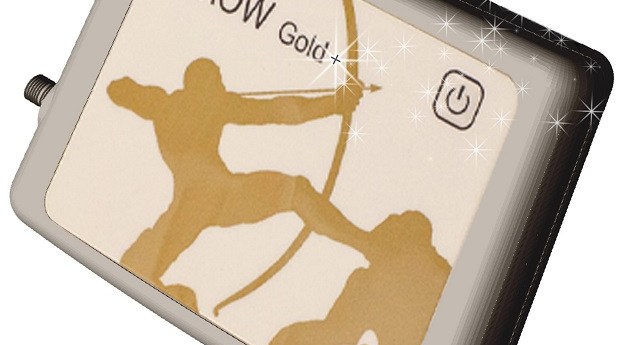
Eos Positioning Systems’ Arrow Gold+ GNSS receiver supports the Galileo High-Accuracy Initial Service...
New Products
-
Septentrio’s Agnostic Corrections Partner Program facilitates the use of its receivers with various...
2023-07-27
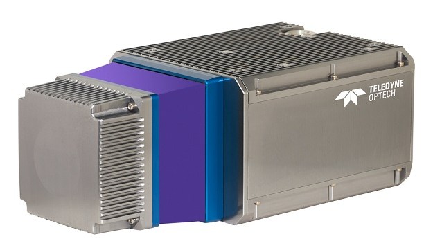
Teledyne Geospatial CL-360 marine LiDAR sensor that can be integrated with high-resolution multibeam...2023-07-25
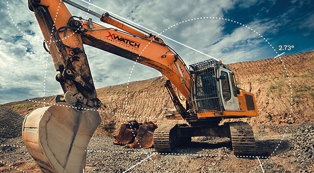
XWatch products are used to improve safety in the construction, mining and transportation...2022-08-25
ADVERTISEMENTEsri’s ArcGIS GeoAnalytics Engine provides a cloud-of-choice capability that works within existing analysis...2022-08-08
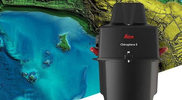
The Leica Geosystems Chiroptera-5 combines airborne bathymetric and topographic LiDAR sensors with a...2022-08-05
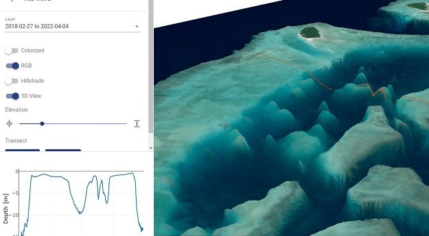
EOMAP’s SDB-Online is a cloud-based web application for creating high-resolution, shallow-water bathymetric grids.2022-08-04
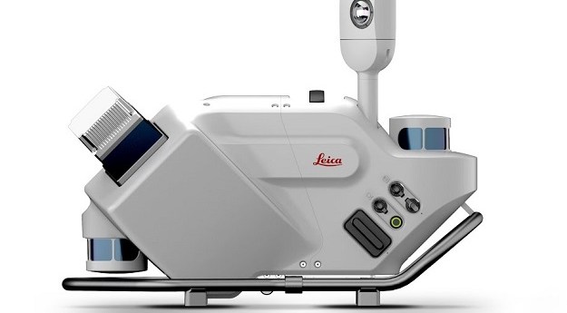
Leica’s Pegasus TRK500/700 Neo solution brings autonomy, intelligence and simplicity to mobile mapping.2022-06-20
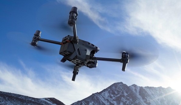
The DJI Matrice 30 drone integrates multiple high-performance sensors into a single camera...2022-06-17
1Spatial has extended the capability of its survey application, 1Edit, with more support...2022-06-16
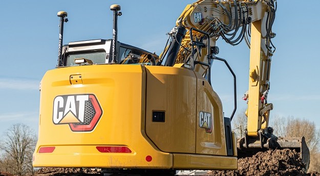
Topcon has a new option for Caterpillar Next Gen users to leverage 3D...2022-04-29
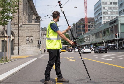
Leica Geosystems (distributed by CR Kennedy) has introduced the Leica AP20 AutoPole, a...2022-04-07
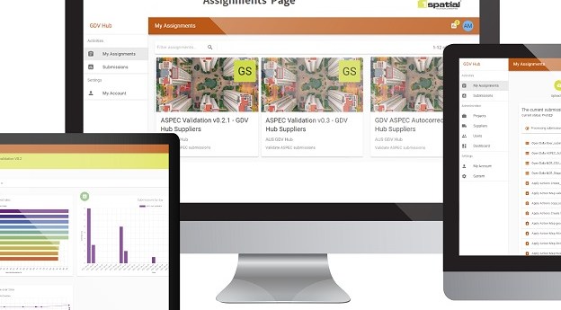
1Spatial, together with DIGITAL-HIVE, has announced the launch of its Geospatial Data Validation...2022-02-04
Trimble has launched the ProPoint GNSS engine-equipped DA2 receiver for the company’s Catalyst...2021-12-05
The Myriota Mouse is a plug-and-play external antenna that has been custom built...2021-12-02
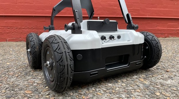
The MALÅ Easy Locator Core is an intelligent ground penetrating radar designed for...2021-11-29
Nearmap AI has expanded its offering, now delivering 11 new attributes and 200+...2021-11-26
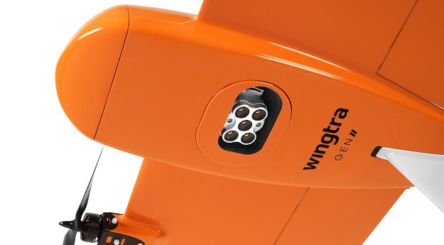
Wingtra has announced the availability in Australia of the WingtraOne GEN II advanced...2021-08-05
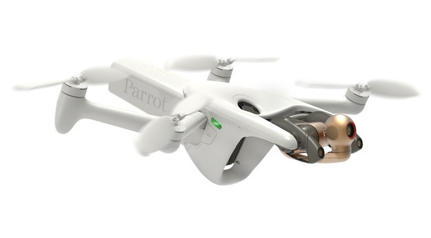
Parrot’s 4G-enabled ANAFI Ai UAV has a 48MP main camera and a stabilised...2021-07-06
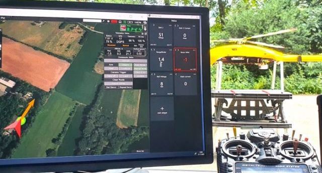
The Velos UAV helicopter has passed field tests to become the first single-rotor...2021-03-02
Newsletter
Sign up now to stay up to date about all the news from Spatial Source. You will get a newsletter every week with the latest news.
© 2026 Spatial Source. All Rights Reserved.
Powered by WordPress. Designed by


