The u-blox F10 GNSS platform combines L1 and L5 to offer enhanced multipath...
New Products
-
Trimble has introduced the R580, the next generation of its ProPoint GNSS positioning...
2024-03-27
Kermap has released a free web platform enabling access to time series 2D...2024-03-25
The IRIDESENSE 3D multispectral LiDAR sensor can analysing plant health and soil humidity...2024-03-20
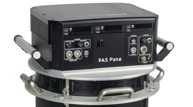
ADVERTISEMENTThe Phase One PAS Pana seven-camera wide-field system features five RGB cameras and...2024-03-07
Trimble has released version 6.5 of its 4D Control real-time movement detection monitoring...2024-03-04
The Leica iCON gps 160 GNSS smart antenna can be used as a...2024-02-28
The Brumby LiDAR rapidly produces point clouds by removing the typically arduous post-processing...2024-02-26
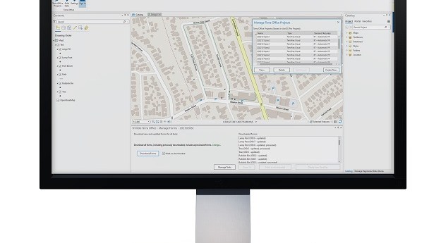
Trimble has released the Trimble Terra Office add-in for Esri ArcGIS Pro, a...2023-11-13
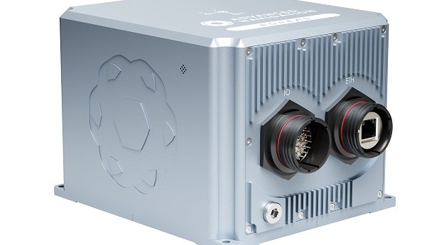
Advanced Navigation has launched two new fibre-optic gyroscope (FOG) navigation solutions, the Boreas...2023-11-06
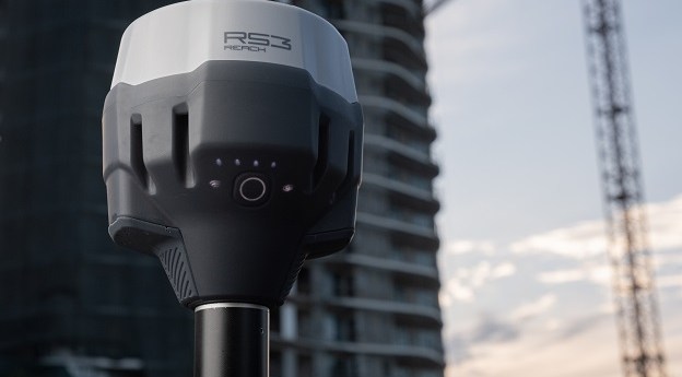
Emlid has announced what it says is the most powerful and flexible RTK...2023-11-01
The Apache 3 Pro has advanced navigation, on board camera, RTK GPS with...2023-10-13
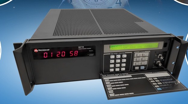
The Microchip Technology 5071B can perform autonomous time keeping for months in the...2023-08-11
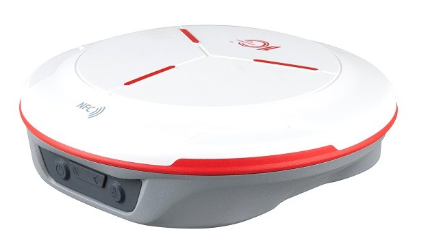
The ComNav Technology T20 GNSS receiver is 48 mm thick with its battery...2023-08-09
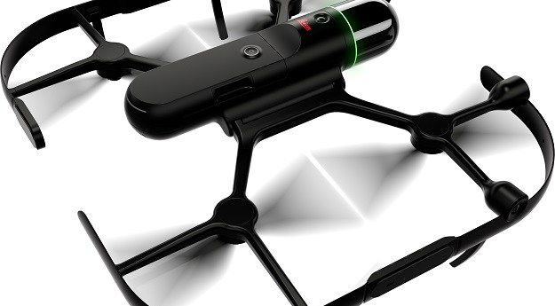
The Leica BLK2FLY is an autonomous flying laser scanner with built-in obstacle avoidance...2023-08-07
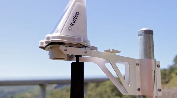
Kurloo is a system for detecting and transmitting relative 3D displacement for mining...2023-08-04
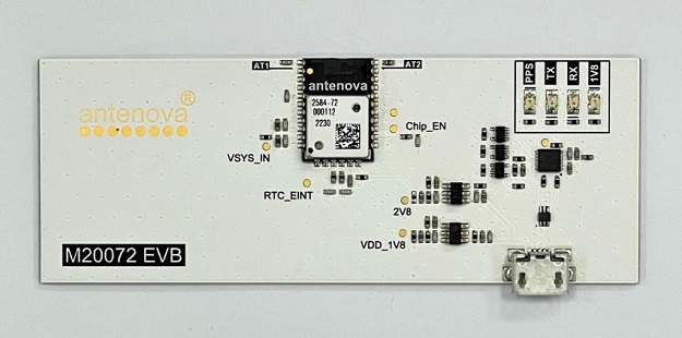
The Antenova GNSSNova M20072 is a GNSS receiver with integrated GNSS antenna and...2023-08-02
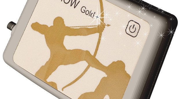
Eos Positioning Systems’ Arrow Gold+ GNSS receiver supports the Galileo High-Accuracy Initial Service...2023-07-31
Septentrio’s Agnostic Corrections Partner Program facilitates the use of its receivers with various...2023-07-27
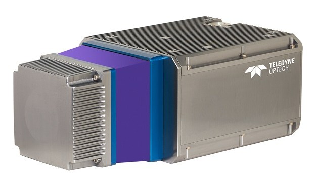
Teledyne Geospatial CL-360 marine LiDAR sensor that can be integrated with high-resolution multibeam...2023-07-25
Newsletter
Sign up now to stay up to date about all the news from Spatial Source. You will get a newsletter every week with the latest news.
© 2025 Spatial Source. All Rights Reserved.
Powered by WordPress. Designed by


