

GIS & Data
-
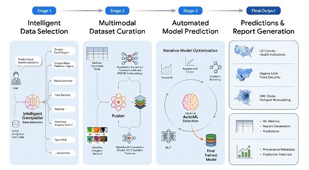 PPE is an experimental capability for automating full geospatial workflows from natural-language queries.
 2026-09-07
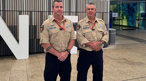 The 15-person team includes drone pilots and mapping experts from the Queensland and... 2026-09-07
 Aerial imagery surveys across three reef sites have captured data for long-term monitoring... 2026-08-27
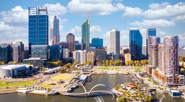 The Western Australia government has opened applications for its 2027 Digital Public Sector... 2026-08-27
- ADVERTISEMENT
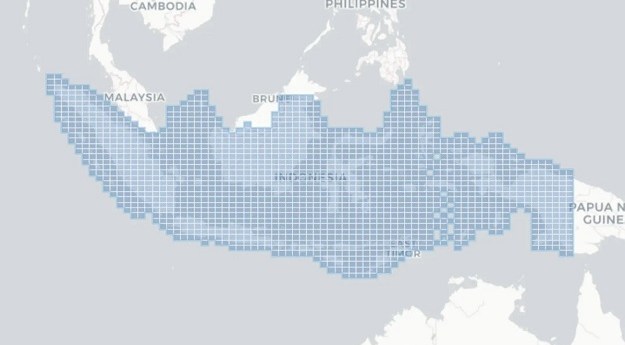 Piksel is an open platform for exploring and analysing changes using analysis-ready Earth... 2026-08-27
 The Intergovernmental Committee on Surveying and Mapping has laid out the four pillars... 2026-08-25
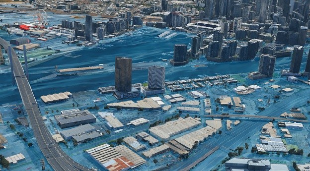 The work shows how governments can map exposure to make decisions about development,... 2026-08-24
 The Centre for Australian Research into Access has used address-level intelligence to study... 2026-08-18
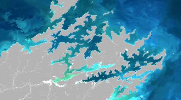 Scientists have mapped suspended sediment and phytoplankton blooms using Sentinel-2 satellite images. 2026-08-18
 All councils should have free access to location intelligence to manage infrastructure and... 2026-08-17
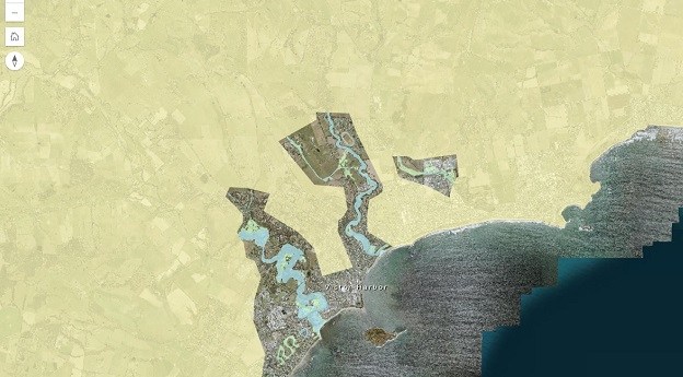 A draft amendment would update flood mapping and planning rules based on new... 2026-08-13
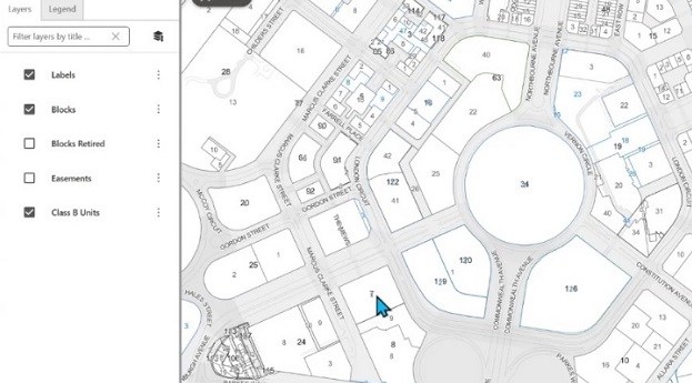 Users have the opportunity to try out new features and enhancements before they’re... 2026-08-13
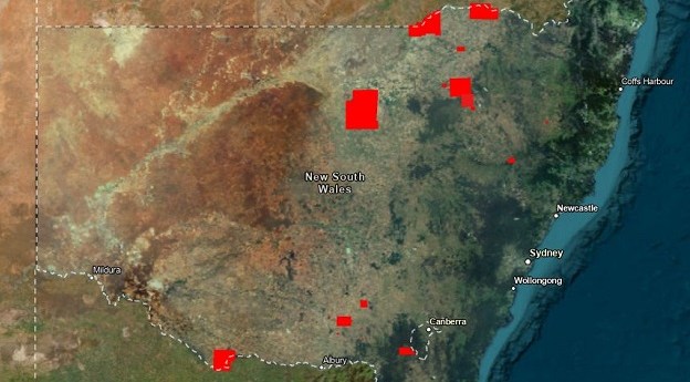 The release from DCS Spatial Services covers 23 areas from the Victorian border... 2026-08-13
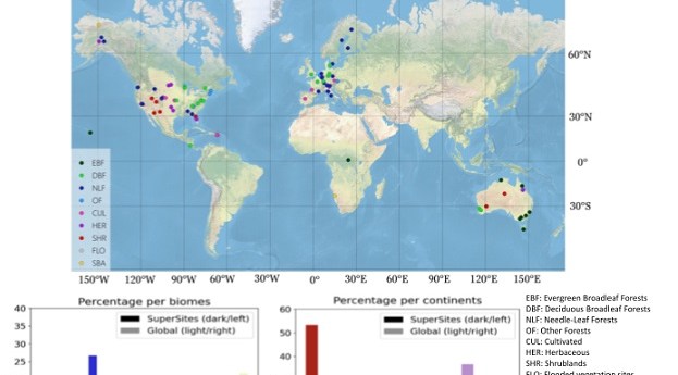 Twelve Australian locations have been included in the CEOS list of satellite calibration/validation... 2026-08-11
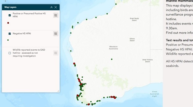 The centralised resource aims to benefit poultry producers, vets, wildlife carers and the... 2026-08-11
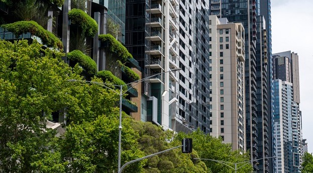 Can geospatial tech measure the greenery residents see from an apartment? Yes, but... 2026-08-07
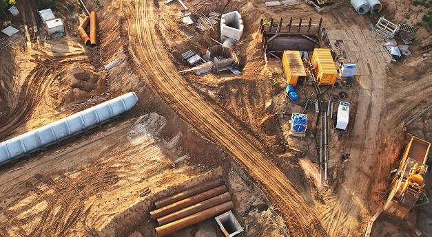 Many challenges in the infrastructure sector have a common theme: confidence in knowing... 2026-08-05
 Government officers and GIS and spatial practitioners from across the region convened to... 2026-08-04
 The WA Vegetation Extent (WAVE) project is using AI to map and monitor... 2026-08-03
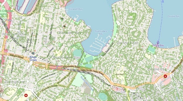 The 2024-25 tree canopy cover data for Greater Sydney shows the most gains... 2026-07-31
© 2026 Spatial Source. All Rights Reserved.
Powered by WordPress. Designed by
