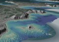
The latest Alto update enables single, consolidated visualisation of multiple mission-critical data sources.
Octave Intelligence has announced the release of the latest version of Octave Alto, a geospatial solution for 2D / 3D / 4D visualisation, analytics, data fusion, digital twins and real time operations.
The company says the latest version, Alto 2026.1, enables organisations to consolidate mission-critical data and disparate information into a single visualisation with real-time insights.
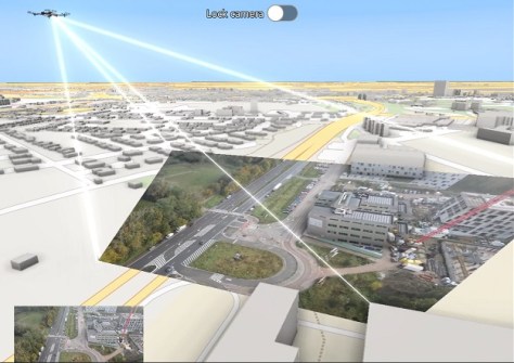
For instance, live drone and camera video can be brought directly onto 2D maps and 3D terrain, enabling operators to not only see what a camera sees but can also access all the critical geospatial information attached to that camera’s view.
The new version also includes support for Gaussian splats to turn photos and scans into lifelike 3D models.
The latest Alto release includes updates for Alto Browser (formerly LuciadRIA), Alto Lightspeed (formerly LuciadLightspeed), Alto Server (formerly LuciadFusion) and Alto Universal (formerly LuciadCPillar).