Blue Marble Geographics recently debuted its Global Mapper Pro version 26.0 with exciting...
uav
-
The AAUS’ latest industry report reveals surveying is one of the major users...
2024-07-02
UAV users can now easily see whether they need to obtain authorisation to...2024-03-14
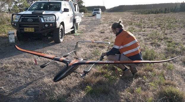
The Australian-made Volanti UAV conducted a BVLOS inspection of 150 km of powerlines.2024-03-11
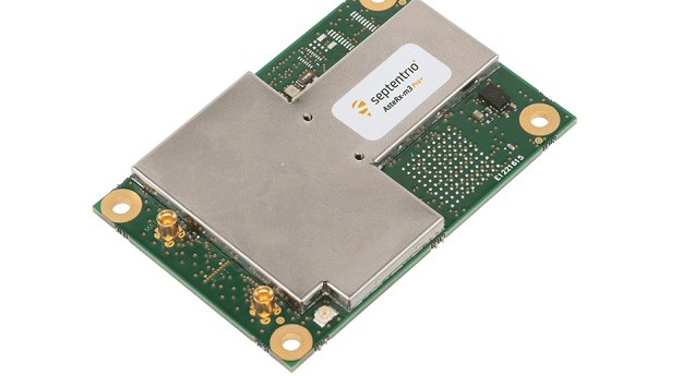
ADVERTISEMENTSeptentrio’s single- and dual-antenna AsteRx-m3 and mosaic receivers with PX4 Autopilot for resilient...2022-08-10
All those involved in the drone sector are invited take part in the...2022-07-25
The Civil Aviation Safety Authority will go ahead with a suite of amendments...2022-02-23
An early interest in maps and geography has led to an award-winning career...2021-12-22
Delta Drone will take a 60% stake in Perth-based Arvista, which provides UAV...2021-08-16
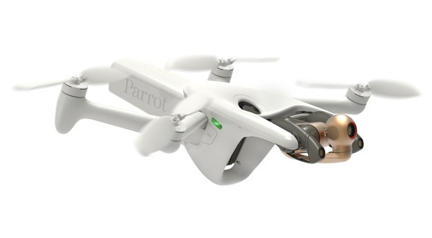
Parrot’s 4G-enabled ANAFI Ai UAV has a 48MP main camera and a stabilised...2021-07-06
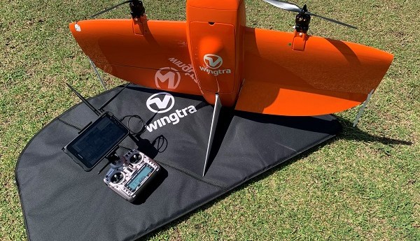
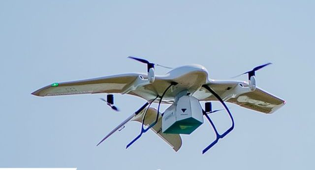
The surveyor-tested WingtraOne VTOL mapping drone delivers superior imagery over a long range...2021-06-16
DroneShield has released the DroneCannon MKII, the next generation fixed-site UAS/drone disruption device.2021-03-08
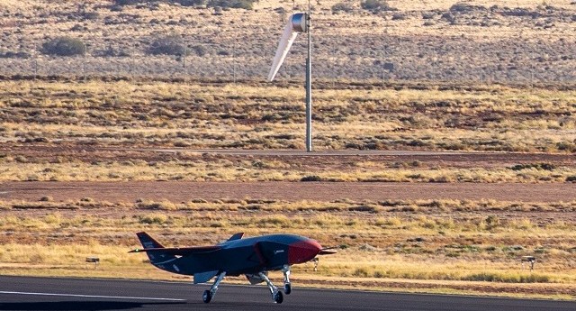
Boeing and the RAAF have successfully completed the first test flight of the...2021-03-02
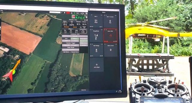
The Velos UAV helicopter has passed field tests to become the first single-rotor...2021-03-02
Wingcopter has joined Flying Labs Network to support locally led drone delivery projects...2021-02-22
Delta Drone will expand its reach and use its advanced data capabilities to...2021-02-16
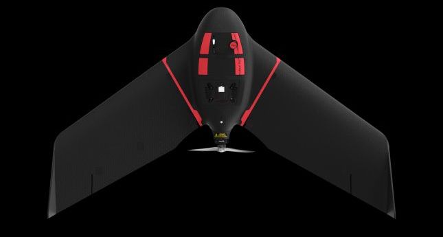
The eBee Ag is designed to help farmers, agronomists and service providers capture...2021-02-16
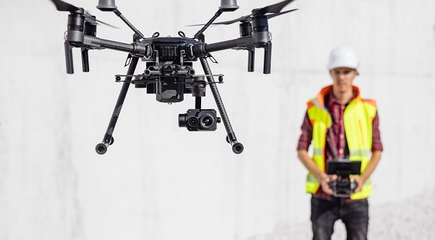
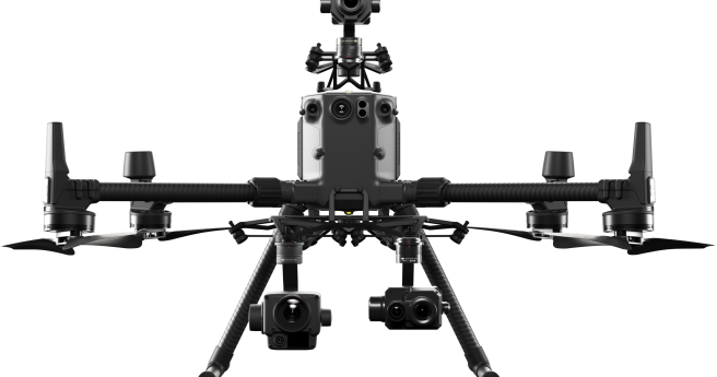
DJI throws down with two heavyweight sensing payloads for geospatial applications.2020-10-21
Camera maker says agreement opens new opportunities in drone-based high-accuracy mapping and inspection.2020-08-25
New flight app and a cloud-based platform allow for automated inspections and asset...2020-07-22
Newsletter
Sign up now to stay up to date about all the news from Spatial Source. You will get a newsletter every week with the latest news.
© 2025 Spatial Source. All Rights Reserved.
Powered by WordPress. Designed by


