Attend Locate21 at a deep discount until January 22, as more speakers and...
events
-
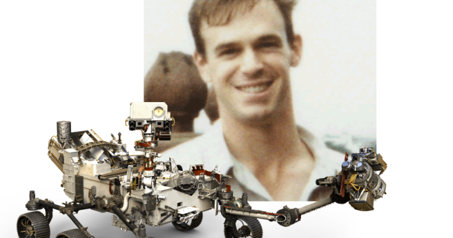
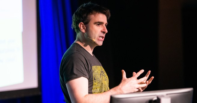
Australian and NASA Mars Rover scientist Dr. Adrian Brown will join next week’s...
2021-01-20
The region’s leading geospatial event has adopted a new format for Locate21.2020-12-09
We sit down with Andy Sexton, whose Navigat/AR system seeks to save the...2020-11-10
ADVERTISEMENTOzri 2020 has been redefined as a free, virtual information sharing event with...2020-09-23
NavigatAR, a dynamic navigation tool aiming to safely bring back the physical interaction...2020-08-12
The event was due to be held over May 28 and May 29...2020-03-18
Travel restrictions and health concerns led to the cancellation of the major GIS...2020-03-09
Extended programming on Australia’s future in space kicks off day two of CeBIT...2019-10-30
Artificial Intelligence is a key track in the programming of Australia’s premier technology...2019-10-18
Live demonstration events for the Vx-20 & Surveyor Ultra LiDAR systems are imminent...2019-10-09
Australia’s premier UAV conference comes in to land on September 26 and 27.2019-09-11
Apply until September 16 to register your interest to host FOSS4G State of...2019-09-03
Nominate now to be in with a chance at an APSEA award.2019-07-03
Quality is honoured at the 2019 Surveying Consultancy Excellence Awards.2019-06-19
The event’s organisers have announced a new speaker and sponsor ahead of the...2019-06-11
Early bird registration is open until midnight, January 31.2019-01-30
Bringing together key datasets to prosper, protect, sustain and grow.2016-03-09
‘Building Value in Customer and Supplier Relationships’ commences 17 March in Brisbane.2016-03-09
This month, Bentley’s BIM seminars visit three Australian capital cities.2016-03-01
Newsletter
Sign up now to stay up to date about all the news from Spatial Source. You will get a newsletter every week with the latest news.
© 2025 Spatial Source. All Rights Reserved.
Powered by WordPress. Designed by


