

Harris will become CEO of the geoscience agency in February, replacing the retiring James Johnson.
Mapping Water: Can You Really Do It?
By SS Advertiser on 3 February, 2025Mapping areas with water through photogrammetry can be a challenge. Sun reflections and homogeneity between images can really make the process difficult. Resulting DSMs/DTMs can often be noisy, while orthomosaics may present color issues. To mitigate this, additional tie points can be used while performing aerial triangulation, or existing polygons of water bodies can be […]
Veris announces acquisition of Spatial Vision
By jnally on 31 January, 2025Veris says the $3m deal will result in GIS service offerings that will enhance the overall service portfolio.
DEA to switch to Sentinel-2C data
By jnally on 28 January, 2025Digital Earth Australia users are advised that the switch has been made from Sentinel-2A to Sentinel-2C data.
MapAI CEO departs; FrontierSI CEO steps in
By jnally on 28 January, 2025FrontierSI’s Graeme Kernich will serve as interim CEO of the AI-based geospatial data analytics start-up.
Latest Geospatial News
View all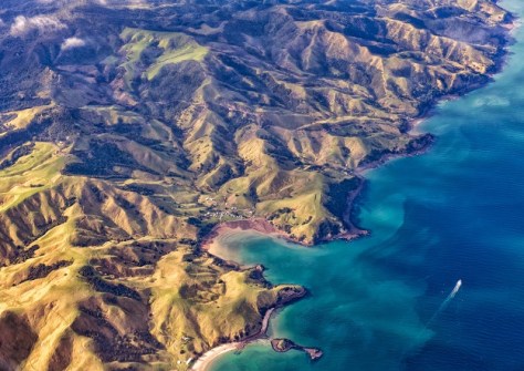
New satellite data shows NZ’s major cities are sinking, mean rising sea levels will affect them sooner.
 2025-05-20
ADVERTISEMENT
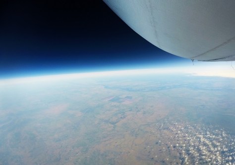
The company aims to reduce Australia's dependence on foreign satellites for observation capabilities.
2025-05-20 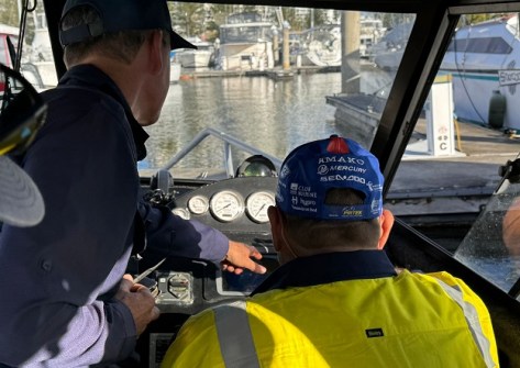
Applications are now open for the 2025 S-5B Hydrographic Surveyor and S-8B Marine Geospatial Programs.
2025-05-20 
For a limited time, new members who join the Geospatial Council of Australia will receive six bonus weeks.
2025-05-20 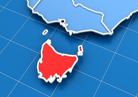
The new plan sets the direction for investment and collaboration in a state-wide geospatial ecosystem.
2025-05-20 
Hear from the program’s leaders and find out how Spatial WA is already being applied in real-world settings.
2025-05-13
ADVERTISEMENT

GIS and remote sensing training is enabling Solomon Islands officials and scientists to better protect ecosystems.
2025-05-13 
- Sponsored Content
Aidedo was founded based on the practical experience of CEO Aiden Tong while studying and working with many Civil Engineering and Land Surveying firms in developed countries.
2026-06-02
The units can operate at depths up to 6,000 metres and were once used to search for the flight MH370 aircraft.
2025-05-13 



Events
View All-
Nov 9
2026 Advancing Earth Observation Forum
 Hobart, Tasmania
-
Nov 10
SouthPAN Industry Day
Online -
Nov 13
South West and Great Southern Surveyors Conference
Mantra Bunbury Lighthouse, Bunbury, WA -
Nov 24
Locate26 Conference / 10th Digital Earth Summit
Melbourne Convention & Exhibition Centre -
Nov 30

