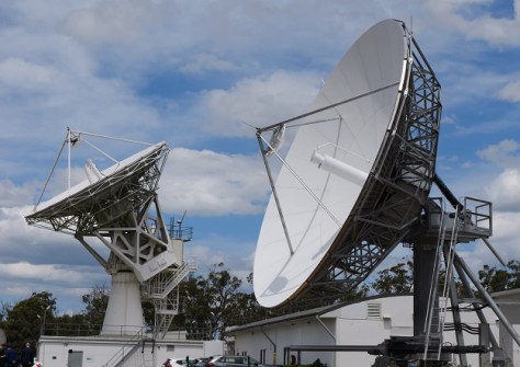
Users are now able to combine several Digital Earth Australia datasets with Google Earth Engine’s own data.
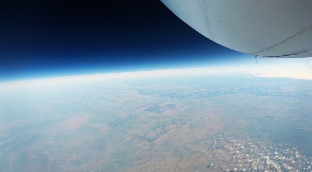
Stratoship tests persistent Earth observation platform
The company aims to reduce Australia’s dependence on foreign satellites for observation capabilities.
Read moreLatest Geospatial News
View all
ADVERTISEMENT
Registration is now open for the World Hydrography Day Seminar, to be held in Wollongong on 21 June.
 2024-04-30
The two countries’ geodetic authorities have agreed to use the Gridded Geodetic data eXchange Format.
 2024-04-29
The Geospatial Commission and The Alan Turing Institute want to see if AI can support better decision-making.
 2024-04-29
The project is providing harmonised, cross-border data for use by governments and the private sector.
 2024-04-29
Singapore has outlined key initiatives for geospatial-enabled outcomes to improve lives and solve challenges.
 2024-04-26
ADVERTISEMENT
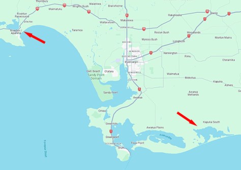
The campaign will produce detailed 3D maps of the seafloor and coastline between Riverton and Waituna Lagoon.
 2024-04-24
The joint Australia/NZ satellite-based augmentation system’s availability level has climbed from 95% to 99.5%.
 2024-04-24
 Events
View All-
Jul 15
18th Australian Space Forum
 Adelaide Convention Centre
 -
Aug 3
International Geoscience and Remote Sensing Symposium
 Brisbane Convention & Exhibition Centre
 -
Aug 26
GIScience 2025
 Christchurch, New Zealand
 -
Sep 10
Survey and Spatial New Zealand Annual Conference
 Te Pae, Christchurch
 -
Sep 17
AIMS National Conference
 Novotel Sunshine Coast Resort, Queensland


