

Geoscape launches an on-demand spatial data service for Australian building and address data.
5 Hobbies For Tech Lovers
By SS Advertiser on 1 April, 2020Tech lover? Anyone that considers them a tech enthusiast will be spoilt for choice when it comes to hobbies because there are so many fantastic ones that allow you to engage with the latest and best technology. With so many various hobbies to choose from, it can be hard to find out what the best […]
University of SA developing ‘pandemic drone’
By Spatial Source on 31 March, 2020Computer vision based system can detect sneezing, coughing, heart rate and temperature in crowds.
Esri Australia launches Australian Covid-19 map
By Spatial Source on 31 March, 2020New dashboard tracks local cases and is updated hourly.
Covid-19: controlling the surge
By Daniel Bishton on 30 March, 2020How do we leverage technology to safeguard public health whilst maintaining civil liberties?
Tracking the spread of coronavirus
By Daniel Bishton on 25 March, 2020We run down key tools tracking the spread of the novel coronavirus 2019.
Septentrio rolls out surface-mount mosaic-X5 receiver
By Spatial Source on 25 March, 2020Tiny, flexible receiver aimed at applications in automation, robotics and wearables.
Latest Geospatial News
View all
Honeywell’s line-up of alternative navigation solutions use live vision, star measurements and magnetic readings.
 2021-04-27
ADVERTISEMENT

The firm’s LiDAR services will help one of the world’s largest gold miners to assess site expansions in real time.
2021-04-26 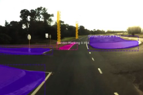
The funding will help commercialise an AI product that extracts features from spatial data for road safety assessment.
2021-04-26 
The US$3,000 open source tutorial prizes are on offer as part of the OSGeo UN Committee Educational Challenge.
2021-04-23 
Better use of space-based geolocation is forecast to add $2.2 billion to the economy over the next 30 years.
2021-04-21 
The companies aim to include SpaceLink relays on Gilmour’s satellites and add such satellites into SpaceLink’s network.
2021-04-20
ADVERTISEMENT

Montreal-based INRO Software is a specialist in transportation planning, simulation and mobility visualisation.
2021-04-20 
- Sponsored Content
Aidedo was founded based on the practical experience of CEO Aiden Tong while studying and working with many Civil Engineering and Land Surveying firms in developed countries.
2026-06-02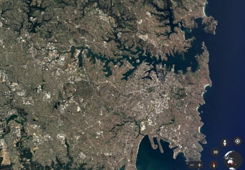
The online tool uses 24 million satellite images to reveal how our planet has evolved over four decades.
2021-04-19 



Events
View All-
Nov 9
2026 Advancing Earth Observation Forum
 Hobart, Tasmania
-
Nov 10
SouthPAN Industry Day
Online -
Nov 13
South West and Great Southern Surveyors Conference
Mantra Bunbury Lighthouse, Bunbury, WA -
Nov 24
Locate26 Conference / 10th Digital Earth Summit
Melbourne Convention & Exhibition Centre -
Nov 30

