

Google Earth’s Timelapse function uses 24 million satellite images to reveal how our planet has changed over four decades.
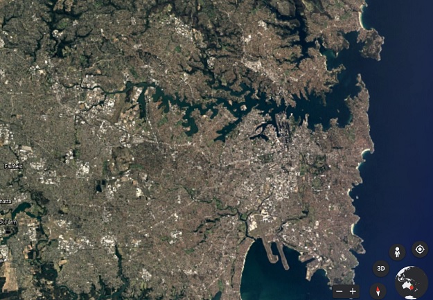
Google Earth has been updated with a new feature called Timelapse that enables users see how our planet has changed by zooming through decades of data.
Users can search for any location on Earth and set the Timelapse video function running, resulting in a ‘movie’ showing changing land use patterns, the growth of cities, environmental change and more.
The technology to make Timelapse worked was developed by Google in conjunction with Carnegie Mellon University’s CREATE Lab.
“Making a planet-sized time-lapse video required a significant amount of what we call ‘pixel crunching’ in Earth Engine, Google’s cloud platform for geospatial analysis,” said Rebecca Moore, Director, Google Earth, Earth Engine & Outreach in a blog post.
“To add animated Timelapse imagery to Google Earth, we gathered more than 24 million satellite images from 1984 to 2020, representing quadrillions of pixels.
“It took more than two million processing hours across thousands of machines in Google Cloud to compile 20 petabytes of satellite imagery into a single 4.4 terapixel-sized video mosaic — that’s the equivalent of 530,000 videos in 4K resolution!”
Moore added that as far as Google is aware, “Timelapse in Google Earth is the largest video on the planet, of our planet”.
The satellite imagery was sourced from NASA and the United States Geological Survey’s Landsat program and the European Union’s Copernicus program’s Sentinel satellites.
Google plans to release annual Timelapse updates as more satellite imagery becomes available.
Stay up to date by getting stories like this delivered to your inbox.
Sign up to receive our free weekly Spatial Source newsletter.


