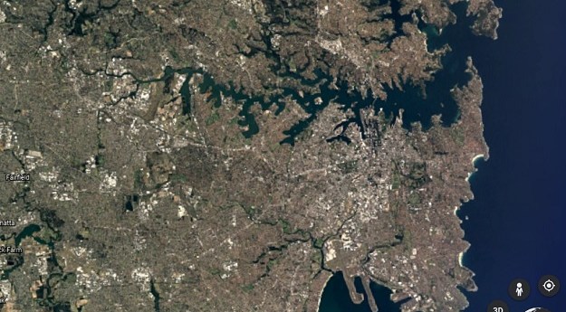
The online tool uses 24 million satellite images to reveal how our planet...
video
-
3D Sandpit maps; GoT maps; open source won; 21st C surveying; UAV forests;...
2015-04-14
Flyability’s Gimball drone’s protective cage that makes obstacle avoidance largely unnecessary.2015-02-17
Wifi locn.; Ebola; Intergeo; solar UAVs; carpet map; map books; volcano video; GeoRabble...2014-10-28
ADVERTISEMENT
Newsletter
Sign up now to stay up to date about all the news from Spatial Source. You will get a newsletter every week with the latest news.
© 2025 Spatial Source. All Rights Reserved.
Powered by WordPress. Designed by ![]()


