

The SSSI has announced a new president and a complement of new board members.
Urban Tree Canopy Management and Change Detection using LiDAR
By Spatial Source on 23 November, 2020DR. SAMUEL HOLT, RESEARCH & DEVELOPMENT, AEROMETREX The urban environmental crisis Cities globally face many environmental challenges and governments at every level are placing great emphasis on developing environmentally sustainable urban areas. Scientific studies have shown that the presence of trees in urban areas has a wide range of positive economic, social, and environmental effects. […]
Happy GIS Day 2020!
By Spatial Source on 18 November, 2020GIS Day turns a big 21 with celebrations and virtual events across the globe.
Earth Observation Australia and SSSI announce partnership
By Spatial Source on 18 November, 2020Earth Observation Australia and the Surveying & Spatial Sciences Institute have signed an MoU.
Drones to monitor crowds at Sydney beaches this summer
By Spatial Source on 18 November, 2020Surf Life Saving NSW and Northern Beaches Council will use UAVs to monitor beaches to maintain Covid-19 safety.
Emergency+ app adds what3words location
By Spatial Source on 18 November, 2020Australia’s official public emergency services app now locates triple zero callers using the what3words addressing system.
Best of the blogs
By Daniel Bishton on 17 November, 2020Spatial Source’s fortnightly round-up of the best in cartography, spatial analysis and creative applications of GIS.
FrontierSI, AGO launch expanded AGO Labs programme
By Spatial Source on 17 November, 2020Expanded programme offers $150k grants to showcase geospatial analytics capability to government.
Perform Photogrammetry with Higher Accuracies
By Spatial Source on 17 November, 2020SimActive’s Correlator3D product is a high-end photogrammetry software providing full control over the production workflow.
Latest Geospatial News
View all
Australian experts will speak in the Space & Geospatial Virtual Pavilion on the topic of climate change.
 2021-11-03
ADVERTISEMENT

The digital map of pipes and cables will boost construction and development and improve worker safety.
2021-11-03 
3D seafloor data will be captured within 5 km of the shore and up to 70m deep in some places.
2021-11-01 
There are increasing calls to boost diversity and inclusion to attract new young professionals into the sector.
2021-11-01 
Australian mapping firm KartaSoft has won two awards at this month’s Sydney Water Innovation Festival.
2021-10-28 
The event, 24–26 May, will have the theme of Location in action: Positioning the nation for a brighter future.
2021-10-27
ADVERTISEMENT

The Australian spatial community has lost one of its giants with the recent passing of Bruce Thompson.
2021-10-27 
- Sponsored Content
Aidedo was founded based on the practical experience of CEO Aiden Tong while studying and working with many Civil Engineering and Land Surveying firms in developed countries.
2026-06-02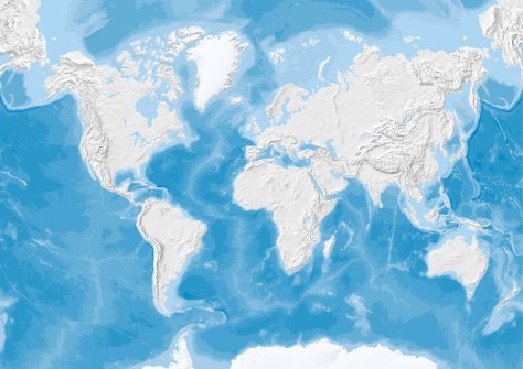
A new survey has given a major boost to efforts to map the entire seafloor by the end of the decade.
2021-10-25 



Events
View All-
Nov 9
2026 Advancing Earth Observation Forum
 Hobart, Tasmania
-
Nov 10
SouthPAN Industry Day
Online -
Nov 13
South West and Great Southern Surveyors Conference
Mantra Bunbury Lighthouse, Bunbury, WA -
Nov 24
Locate26 Conference / 10th Digital Earth Summit
Melbourne Convention & Exhibition Centre -
Nov 30

