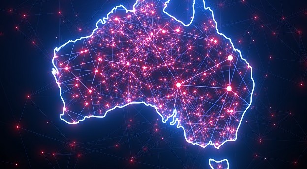
Victoria’s DELWP has used machine learning techniques to refresh the state’s 20-year-old tree cover dataset.
Geoscience Australia to give online update briefing
The Showcase 2026 event will cover the Digital Atlas of Australia, seabed mapping, critical minerals and more.
Read moreLatest Geospatial News
View all
ADVERTISEMENT
‘How Cool is your School?’ will help combat heat stress while also teaching kids about spatial technologies.
MetroMap’s high-resolution aerial imagery and measuring tools are a game-changer for outdoor event managers.
But the company had been due to move to new premises within a week, and so was able to offset the impact.
SSSI has nominated Professor Abbas Rajabifard for president of the International Federation of Surveyors.
Aerometrex has produced bushfire fuel load maps of the Adelaide hills, to aid in planning and response.
ADVERTISEMENT
Position Partners will work with contracting group MACA to retrofit 100 trucks with SafeAI autonomy.
Aidedo was founded based on the practical experience of CEO Aiden Tong while studying and working with many Civil Engineering and Land Surveying firms in developed countries.
Boosting diversity and inclusion can be a win-win for your organisation and the industry as a whole.
Events
View All-
Nov 24
Locate26 Conference / 10th Digital Earth Summit
Melbourne Convention & Exhibition Centre -
Nov 30
-
Feb 5
2026 National EISSI Awards
The Marion, Barrine Drive Regatta Point, Commonwealth Park, Canberra -
Mar 15
Association of Public Authority Surveyors, NSW, 2027 Conference
Crowne Plaza, Terrigal