An automated vegetation detection and mapping system uses Google Street View, AI and manual images of trees.
Geoscience Australia to give online update briefing
The Showcase 2026 event will cover the Digital Atlas of Australia, seabed mapping, critical minerals and more.
Read moreLatest Geospatial News
View all
ADVERTISEMENT
The company has relocated to Bundoora in Melbourne’s northwest following a fire last year at its Campbellfield office.
The Space+Spatial Industry Growth Roadmap sets out a vision for a robust future for the two sectors.
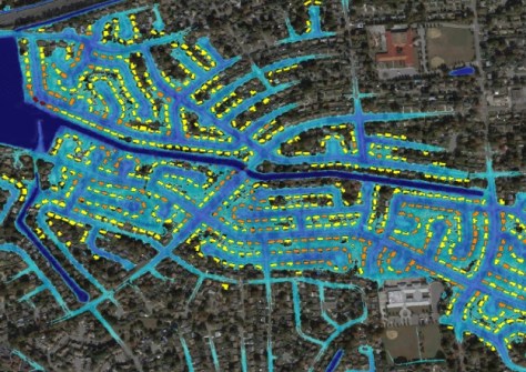
The company will provide flood inundation and analytics data, including evaluation of likely damage.
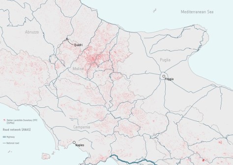
Copernicus satellite data is being used by the Italian road agency to detect and monitor unstable ground.
Release of the new plan follows a period of stakeholder engagement and an externally facilitated workshop.
ADVERTISEMENT
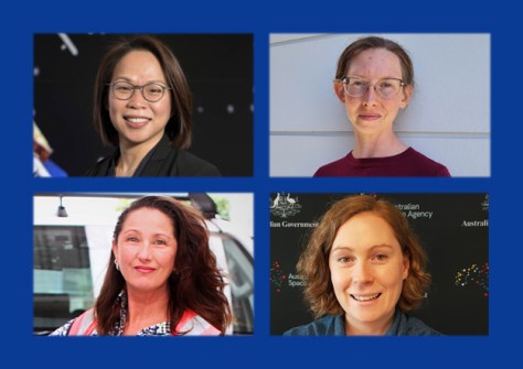
On International Women’s Day, we profile four professionals who have forged very different career paths.
Aidedo was founded based on the practical experience of CEO Aiden Tong while studying and working with many Civil Engineering and Land Surveying firms in developed countries.
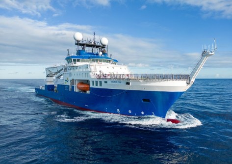
The newly commissioned Falkor (too) will provide free access to the oceans, including for seabed mapping.
Events
View All-
Nov 24
Locate26 Conference / 10th Digital Earth Summit
Melbourne Convention & Exhibition Centre -
Nov 30
-
Feb 5
2026 National EISSI Awards
The Marion, Barrine Drive Regatta Point, Commonwealth Park, Canberra -
Mar 15
Association of Public Authority Surveyors, NSW, 2027 Conference
Crowne Plaza, Terrigal