The group will identify standardisation requirements and promote coordination across the space sector.
Geoscience Australia to give online update briefing
The Showcase 2026 event will cover the Digital Atlas of Australia, seabed mapping, critical minerals and more.
Read moreLatest Geospatial News
View all
ADVERTISEMENT
The UK Space Agency is investing millions of pounds in space R&D, and many Australian partners are involved.
The awards were presented for work involving waterways, bridges, bushfire warning systems and more.
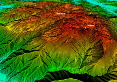
Aerial LiDAR has been used to generate a 1-metre DEM of parts of Victoria’s Alpine and Mt Buffalo National Parks.
Low Earth orbit satellite observations are accelerating society’s journey towards sustainability.
Geospatial is more than an industry — it is a phenomenon that can change the world, says Woolpert’s Joe Seppi.
ADVERTISEMENT
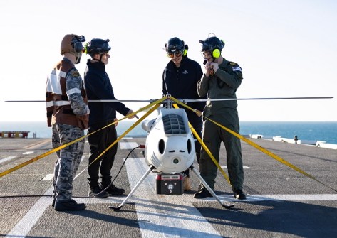
The Royal Australian Navy has trialled a LiDAR-equipped camcopter for mapping seabed and beach areas.
Aidedo was founded based on the practical experience of CEO Aiden Tong while studying and working with many Civil Engineering and Land Surveying firms in developed countries.
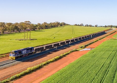
Nearly 233,000 hectares covering 7,699 parcels have been updated to ensure the Inland Rail route’s accuracy.
Events
View All-
Nov 24
Locate26 Conference / 10th Digital Earth Summit
Melbourne Convention & Exhibition Centre -
Nov 30
-
Feb 5
2026 National EISSI Awards
The Marion, Barrine Drive Regatta Point, Commonwealth Park, Canberra -
Mar 15
Association of Public Authority Surveyors, NSW, 2027 Conference
Crowne Plaza, Terrigal