

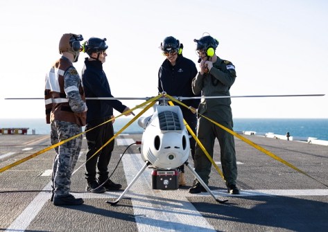
The Royal Australian Navy has used a LiDAR-equipped S-100 camcopter to map a region of seabed and beach for amphibious troop landings as part of a trial during Exercise Sea Raider 23.
The trials aimed to determine the optimal balance between flying low to collect data in comparison to tactical flying.
The S-100, made by Austrian firm Schiebel, has a maximum take-off weight of 200 kg, a maximum speed of 220 km/h, an operational ceiling of around 18,000 feet and can be used day or night in most weather conditions.
“We generate survey plans for landing areas, then create 3D flight profiles and gradients, either electronically or paper, which are used as a briefing tool of shallow water bathymetry, beach, back of beach topography,” said LCDR Thomas Lennards, who has had wide experience with the S-100 as part of his work in hydrographic and geospatial collection.
“The surveys are used to navigate hazards, beach entry and exit points, helicopter landing zones, bridges, hinterland and terrain.”
“We have overlays of nautical charts and satellite imagery used to make sure the information is current with our collection and compare anomalies with what’s scanned compared to what is charted.”
The laser-generated 3D views of beaches, forests and terrain can be used for detection analyses, including battlefield damage assessment.
The S100 can navigate via programmed GPS waypoints or by a control unit, and can be integrated into a ship’s system.
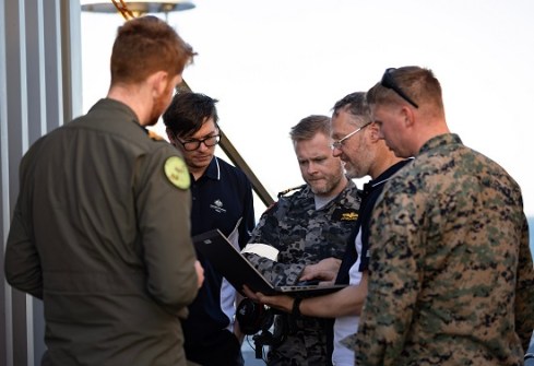
Scientist Dr Alexander Lee and his team used the LiDAR sensor as part of the S-100 introduction-into-service trials on board HMAS Adelaide.
“We participate in major exercises to understand how the outputs of scientific research can be accelerated through the transition into operational use. This seeks to make the war fighter more effective for their missions,” Dr Lee said.
“Pretty much everything that ADF does, there’s probably a scientist that’s looking into it,” Dr Lee said.


