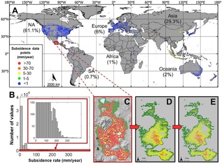
The map reveals millions of square kilometres of subsidence affecting nearly 2 billion people.
MapAI goes live after years of development
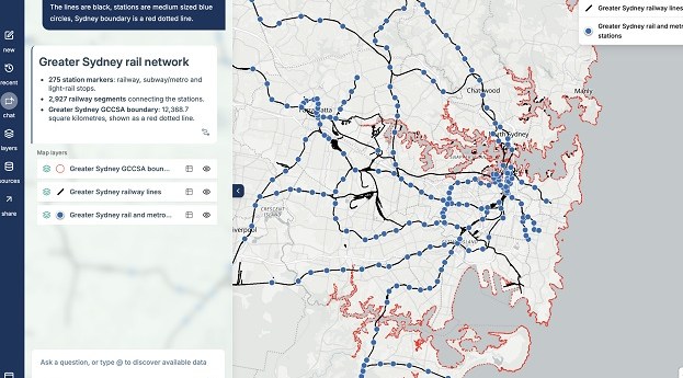
The plain language-driven, AI-powered mapping platform is now available for individual and corporate users.
Read moreLatest Geospatial News
View all
ADVERTISEMENT
A new report and a white paper released by FrontierSI examine policies and activities related to PNT services.
Fixposition’s Vision-RTK 2 solution combines RTK-corrected GNSS, computer vision and IMU tech.
The companies aim to boost the heavy construction sector through delivery of positioning and sensor tech.
The main plenary sessions have been announced, covering economics, AI, sustainability and more.
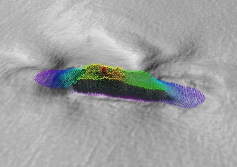
A 120-year-old mystery has been solved following the discovery of the wreck of the SS Nemesis.
ADVERTISEMENT
The National GEOINT Operations Center will deliver geospatial information to decision makers.
Aidedo was founded based on the practical experience of CEO Aiden Tong while studying and working with many Civil Engineering and Land Surveying firms in developed countries.
Learn about the metaverse, mapmaking, 3D scanning, RINEX, hyperspectral EO and more in the new issue of Position.
Events
View All-
Nov 13
South West and Great Southern Surveyors Conference
Mantra Bunbury Lighthouse, Bunbury, WA -
Nov 24
Locate26 Conference / 10th Digital Earth Summit
Melbourne Convention & Exhibition Centre -
Nov 30
-
Feb 5
2026 National EISSI Awards
The Marion, Barrine Drive Regatta Point, Commonwealth Park, Canberra -
Mar 15
Association of Public Authority Surveyors, NSW, 2027 Conference
Crowne Plaza, Terrigal