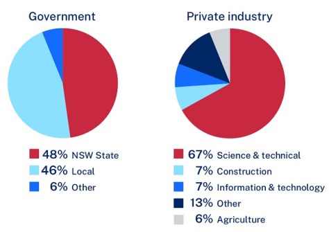
Feedback is being sought on the experience of selling goods and services to the federal government.
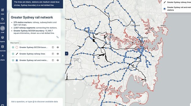
MapAI goes live after years of development
The plain language-driven, AI-powered mapping platform is now available for individual and corporate users.
Read moreLatest Geospatial News
View all
ADVERTISEMENT
Two 11m satellite dishes are being installed at the SouthPAN control centre at Awarua on the South Island.
More than 80% of users view maps and data, with land parcel and property being the most popular data types.
Don’t miss next month’s WA Digital Twin Symposium and the South Australia Cadastral Workshop.
Pilots and air navigation service providers in 56 countries will gain access to more reliable GPS data.
The events will see women from across the geospatial sector gather to share experiences and build connections.
ADVERTISEMENT
The events will show how the latest software, tools and tech are enabling the streamlining of operations.
Aidedo was founded based on the practical experience of CEO Aiden Tong while studying and working with many Civil Engineering and Land Surveying firms in developed countries.
The funding will be used to develop LiDAV navigation sensor technology for Earth applications.
Events
View All-
Nov 13
South West and Great Southern Surveyors Conference
Mantra Bunbury Lighthouse, Bunbury, WA -
Nov 24
Locate26 Conference / 10th Digital Earth Summit
Melbourne Convention & Exhibition Centre -
Nov 30
-
Feb 5
2026 National EISSI Awards
The Marion, Barrine Drive Regatta Point, Commonwealth Park, Canberra -
Mar 15
Association of Public Authority Surveyors, NSW, 2027 Conference
Crowne Plaza, Terrigal