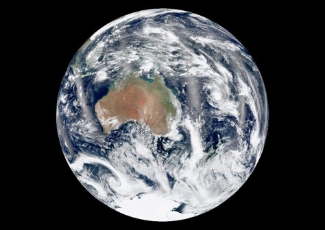
Quantum-enabled positioning, navigation and timing is one of the fields eligible for federal grant funding.
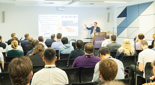
Locate26 Conference: Detailed program rundown
The Locate conference is less than three weeks away, so now’s the time to register and check out the program.
Read moreLatest Geospatial News
View all
ADVERTISEMENT
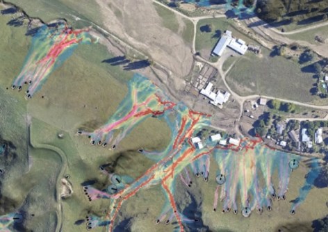
An open-source software tool proved invaluable in estimating risk when Cyclone Gabrielle struck New Zealand.
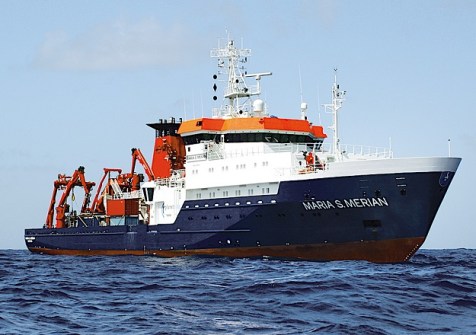
The two major marine initiatives have signed an agreement to work together on ocean research and exploration.
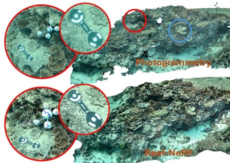
3D AI technology could be set to replace photogrammetry for monitoring the world-famous reef.
The 2024 Earth Observation Australia Awards will recognise those who are building the Australian EO community.
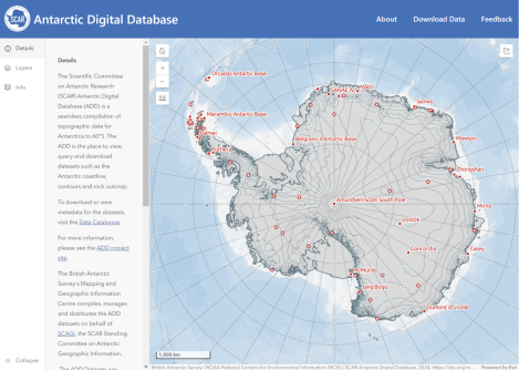
The new viewer displays all Antarctic Digital Database datasets plus other data via an open-access website.
ADVERTISEMENT
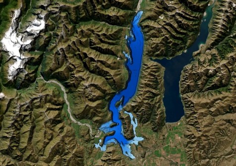
The work was done to better understand the lake’s structure after an active fault was discovered three years ago.
Aidedo was founded based on the practical experience of CEO Aiden Tong while studying and working with many Civil Engineering and Land Surveying firms in developed countries.
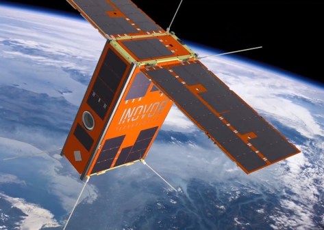
AI image processing aboard South Australia’s upcoming cube sat mission will advance bushfire detection.
Events
View All-
Nov 9
2026 Advancing Earth Observation Forum
Hobart, Tasmania -
Nov 10
SouthPAN Industry Day
Online -
Nov 13
South West and Great Southern Surveyors Conference
Mantra Bunbury Lighthouse, Bunbury, WA -
Nov 24
Locate26 Conference / 10th Digital Earth Summit
Melbourne Convention & Exhibition Centre -

Nov 30