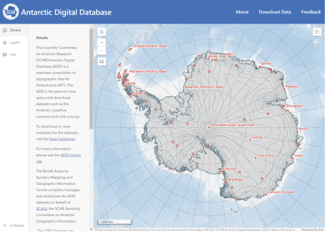
The new viewer displays all Antarctic Digital Database datasets plus other data via an open-access website.
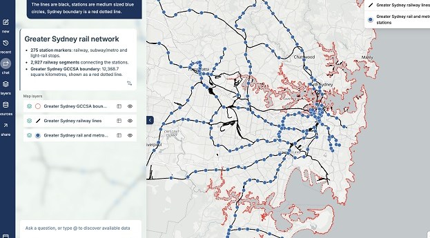
MapAI goes live after years of development
The plain language-driven, AI-powered mapping platform is now available for individual and corporate users.
Read moreLatest Geospatial News
View all
ADVERTISEMENT
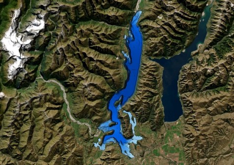
The work was done to better understand the lake’s structure after an active fault was discovered three years ago.
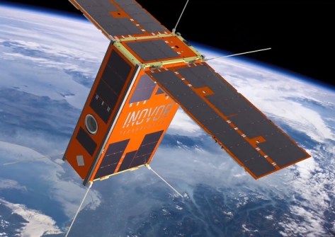
AI image processing aboard South Australia’s upcoming cube sat mission will advance bushfire detection.
The geospatial community is mourning the loss of one of its most illustrious alumni, the Honourable Gary Nairn AO.
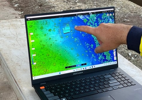
J2 Geospatial Intelligence Service is helping a WA wildlife sanctuary recover from cyclone-caused flood damage.
Japanese firm Axelspace’s Earth observation imagery is now integrated and available on Arlula’s platform.
ADVERTISEMENT
Enrolments have opened for the IBSC-recognised hydrographic courses, which will commence in September 2024.
Aidedo was founded based on the practical experience of CEO Aiden Tong while studying and working with many Civil Engineering and Land Surveying firms in developed countries.
The operational version of the Digital Atlas of Australia has been launched following its Beta phase test period.
Events
View All-
Nov 9
2026 Advancing Earth Observation Forum
Hobart, Tasmania -
Nov 13
South West and Great Southern Surveyors Conference
Mantra Bunbury Lighthouse, Bunbury, WA -
Nov 24
Locate26 Conference / 10th Digital Earth Summit
Melbourne Convention & Exhibition Centre -

Nov 30
-
Feb 5
2026 National EISSI Awards
Melbourne Convention & Exhibition Centre