

The deal continues the consolidation of the satcom market, coming less than 12 months after Viasat acquired Inmarsat.
Glenn Cockerton steps down as Spatial Vision CEO
By jnally on 1 May, 2024Industry veteran Cockerton will remain on Board, with Cameron Selkrig taking his place as CEO as of 1 May.
Terrestrial scanning solution from Emlid and PIX4D accelerates data capture for construction and utilities
By SS Advertiser on 1 May, 2024Demand for fast and efficient terrestrial data collection is growing across the industries, yet the technology still requires extensive surveying expertise and can be costly to implement.
Displacement monitoring platform update
By jnally on 1 May, 2024Kurloo’s updated Kurloo Nest cloud platform processes daily displacement data in near-real time.
Locate24 Vendor Focus: Landair Surveys
By jnally on 1 May, 2024In the run up to the Locate conference in May, we’re highlighting some of the companies you’ll be able to meet.
DEA datasets now available on Google Earth Engine
By jnally on 30 April, 2024Users are now able to combine several Digital Earth Australia datasets with Google Earth Engine’s own data.
UK exploring AI tech for transforming land use
By jnally on 29 April, 2024The Geospatial Commission and The Alan Turing Institute want to see if AI can support better decision-making.
Latest Geospatial News
View all
Australian Spatial Analytics will outline its success in training neurodiverse individuals for geospatial roles.
 2024-10-01
ADVERTISEMENT

The National Engineering Surveying Certification v2.0 is designed to better support surveyors and employers.
2024-09-30 
The US Space Force has chosen Astranis, Axient, L3 Harris and Sierra Space to design alternative GPS satellites.
2024-09-30 
The capacity building events will have a focus on Least Developed Countries and Small Island Developing States.
2024-09-30 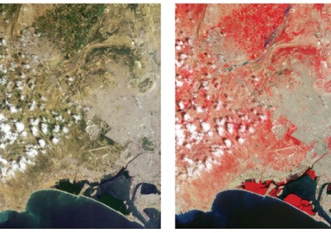
We’re getting our first look at the capabilities of Europe’s Sentinel-2C and Planet Labs’ Tanager-1 satellites.
2024-09-27 
The Australian Geospatial-Intelligence Organisation is inviting applications for its 12-month training course.
2024-09-26
ADVERTISEMENT
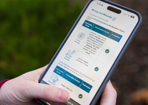
Geoscience Australia’s new spatial exploration tool has won a Good Design Award for Design Strategy.
2024-09-25 
- Sponsored Content
Aidedo was founded based on the practical experience of CEO Aiden Tong while studying and working with many Civil Engineering and Land Surveying firms in developed countries.
2026-06-02
Drones and street cameras have been used to map Tuvalu’s capital island of Funafuti in just a few weeks.
2024-09-25 



Events
View All-
Nov 9
2026 Advancing Earth Observation Forum
 Hobart, Tasmania
-
Nov 10
SouthPAN Industry Day
Online -
Nov 13
South West and Great Southern Surveyors Conference
Mantra Bunbury Lighthouse, Bunbury, WA -
Nov 24
Locate26 Conference / 10th Digital Earth Summit
Melbourne Convention & Exhibition Centre -
Nov 30

