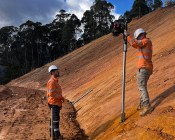
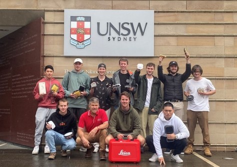
The second-year student at UNSW loves the field work and the breadth of opportunities that surveying offers.

Singapore releases 10-year Geospatial Master Plan
Singapore has outlined key initiatives for geospatial-enabled outcomes to improve lives and solve challenges.
Read moreLatest Geospatial News
View all
ADVERTISEMENT
Version 3 has a simplified software configuration, improved positioning and other performance improvements.
 2024-02-08
Having stumbled across the geospatial sector at university, Murrant has now become a passionate GIS analyst.
 2024-02-07
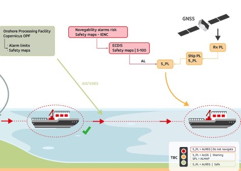
The European AVIS project aims to improve autonomous navigation using E-GNSS and Copernicus.
 2024-02-06
The event will be held at Sydney’s Darling Harbour and will include the Geospatial Excellence Awards ceremony.
 2024-02-05
Dunne, the former Hydrographer of Australia, becomes a new, independent non-executive GCA Director
 2024-02-05
ADVERTISEMENT
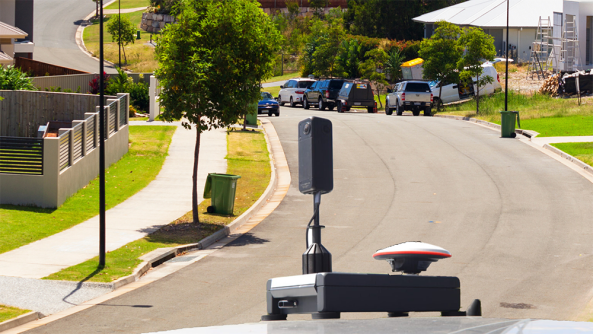
RapidMap now offers the Smart Street 360 which is a rapid deployment panorama camera capture GNSS solution to create personalised Spatially accurate Street Views efficiently. Ideal for Local Government, use for roadside assessments pre and post disaster or simply to record the current condition of shared paths, sealed and unsealed roads.
 2023-11-01
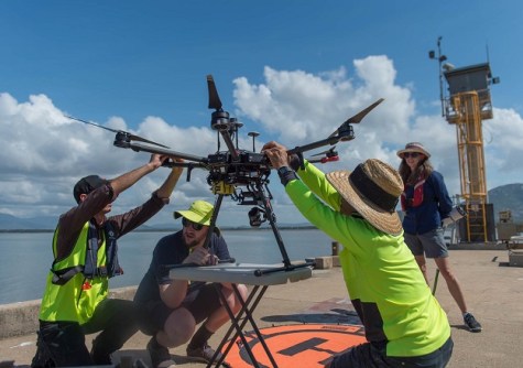
UNSW surveying students were challenged to put a range of SouthPAN devices and services through their paces.
 2024-02-02
 Events
View All-
May 2
GISTAM 2024
 Angers, France
 -
May 7
Locate24
 International Convention Centre, Sydney
 -
May 7
New Zealand: Digital Twin 2024 Summit
 Mövenpick Hotel Auckland, New Zealand
 -
May 9
4th International Symposium on Applied Geoinformatics 2024
 Wroclaw University of Science and Technology, Wroclaw, Poland
 -
May 13
Geospatial World Forum 2024
 Rotterdam, The Netherlands


