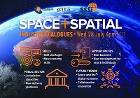
During 2020 an expert group drafted the SPACE+SPATIAL Industry Growth Roadmap 2030 – a national snapshot for Australian professionals to better understand the bold new future that’s rapidly approaching and what it means for them, their careers, their organisations and all of Australia.
The National Steering Committee is seeking feedback on the Roadmap from spatial professionals of all levels across the country. There are a number of ways to get involved, one of which is to participate in this SSSI and SIBA|GITA SPACE+SPATIAL Roadmap Online Session.
You will hear about the key plans, activities and issues and have the opportunity to have a meaningful discussion with colleagues about your thoughts on the Roadmap Consultation Paper and the topic in general.

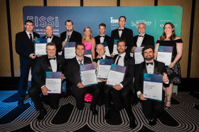
Each year representatives from the Association of Consulting Surveyors NSW and the Institution of Surveyors NSW come together to organise the NSW Excellence in Surveying and Spatial Information (EISSI) Awards.
The awards recognise the achievements of organisations and individuals from across the state who are engaged in the surveying and spatial information profession; celebrate excellence before an audience of industry peers; encourage activities that create a stronger, larger and more relevant industry; and embrace the achievements of the industry and its related industries and professions.


